Accesso

Hai dimenticato il login?

I cookie devono essere accettati!
La funzione cookie del suo browser è disattivata. Si prega di attivare la funzione.

Non sei ancora membro?

Registrati ora
Accesso

Possibile solo per gli utenti registrati

Effettua il login per poter utilizzare questa funzione.

Hai dimenticato il login?

I cookie devono essere accettati!
La funzione cookie del suo browser è disattivata. Si prega di attivare la funzione.

Non sei ancora membro?

Registrati ora
Filtro
Categorie
Filtri avanzati
  • Lunghezza (km)
  • Dislivello
Memorizza filtro Azzera il filtro

TrackRank

QRCode

Dati tecnici

Lunghezza33,5 km Dislivello643 m Discesa640 m Durata02:30 h:m Data22.10.2008
Valutazioni Autore Paesaggio Divertimento Condizione Tecnica

Statistica

1573 Visualizzazioni 1 Valutazione 372 Download 1.00 Media
Vota
  • Scheda tecnica
  • Come arrivare
  • Download

This is a combinatioon of 2 other tracks I have already published and is the best one for autumn and spring when the colours are at their finest.

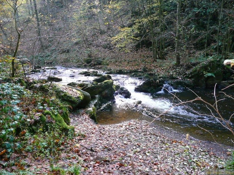
The scenery is breathtaking and some of the trails are quite tricky, especially the single trail round the edge of the lake at Robertville (this can easily be avoided by sticking to the road if you don't want the tricky route)

The scenery from above Robertville is fantastic.

You need pretty good condition for some of the very steep climbs

There are a few technical passages but they are not very long so if you have to walk them, it is not a disaster.

Ulteriori informazioni sotto

http://www.creamteam.be

Galleria itinerari

Mappa itinerario e altimetria

  • Open Street Map
  • Google
Altezza minima 338 m Altezza massima 562 m Vista dettagliata

Maggiori informazioni sull'autore del tour

Cream Team
Membro dal 2007

Invia un messaggio privato

Commenti

Mark_Maurissen on 29.11.2009

tocht Malmedy

Wij rijden graag technisch met de fiets. Zeer 'mooie' tocht maar haal aub de 4sterren bij techniek weg en maak daar 1 of 2 van! Alvast bedankt, Mark
Start and finish at the cathedral in Malmedy and follow the track clockwise going up the Warche valley to the lake at Robertville

Tracce GPS

Punti di traccia
  • GPX / Garmin Map Source (gpx) download
  • TCX / Garmin Training Center® (tcx) download
  • CRS / Garmin Training Center® (crs) download
  • Google Earth (kml) download
  • G7ToWin (g7t) download
  • TTQV (trk) download
  • Overlay (ovl) download
  • Fugawi (txt) download
  • Kompass (DAV) Track (tk) download
  • Scheda tecnica (pdf) download
  • File originale dell'autore (gpx) download

Maggiori informazioni sull'autore del tour

Cream Team
Membro dal 2007

Invia un messaggio privato
Share track
Aggiungi ai miei preferiti
Rimuovi dai miei preferiti
Modifica dei tag
Il mio voto
Vota
Itinerario: Malmedy Warche 04
Tipo: Mountain bike
Lunghezza: 33,5 km
Valutato su:
Durata:
Giorni/Diurni
Ora/Ore
Minuti
Valutazione: Paesaggio Divertimento Condizione Tecnica