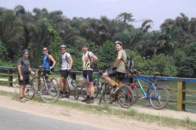
This time we started at 12:00 noon which was better as it still gives you an afternoon later on. Only problem is that it is darn hot then. South of Aba Road was the area this time and we pretty much kept in the proximity of the train tracks this time. We ended up in the town of Obyibo (or something like that) where we had a stop at Imo River. Then back along flow lines. The last kilometers were for me more like a torture but we all managed to get back to have beers (for the fit guys) or coke (for the weak ones like me who needed sugar) to get their strength back.
Galleria itinerari
Mappa itinerario e altimetria
Altezza minima 9 m
Altezza massima 36 m
Commenti

What shall I write here? Take a 6 hour flight from Paris (AF) or Frankfurt (LH) to Port Harcourt and then tell a "taxi driver" to bring you to the Intels camp on Aba Road Km16. We usually start at 14:30 but it might change.
Tracce GPS
Punti di traccia-
GPX / Garmin Map Source (gpx) download
-
TCX / Garmin Training Center® (tcx) download
-
CRS / Garmin Training Center® (crs) download
-
Google Earth (kml) download
-
G7ToWin (g7t) download
-
TTQV (trk) download
-
Overlay (ovl) download
-
Fugawi (txt) download
-
Kompass (DAV) Track (tk) download
-
Scheda tecnica (pdf) download
-
File originale dell'autore (gpx) download
Aggiungi ai miei preferiti
Rimuovi dai miei preferiti
Modifica dei tag
Tour aperto
Il mio voto
Vota


