

We start our trip in Krasna village and go almost straight on up to the ridge. Next days we spent on beautiful Svidovec ridge which was covered by powder snow in this period of time. We spent one night in tent in the saddle of the main ridge during snowstorm and next days we preferred sleeping in the shepherd's huts. After seven days we reach Rakhiv town from where we come back home.
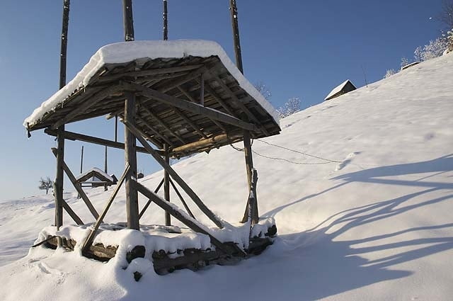
If you are afraid of sleeping in the tent on the snow you can sleep in lonely shepherd's hut which is practically everywhere on pastures up to the end of the forest level. However, you must count with some delay because it takes usually a lot of descends from main ridge. But I think your trip will be more varied and eventful and even more, you can light a fire and cook some dinner and make gallons of tea :-).
Winter with sunny weather is great time in order to visit these mountains despite the cold, which was somewhere between -5 -15 degrees of centigrade.
Ulteriori informazioni sotto
http://www.ms.mff.cuni.cz/~jhum8111/hory/ukrajina_2008/ukrajina_2008.htmlGalleria itinerari


Mappa itinerario e altimetria
Altezza minima 424 m
Altezza massima 1890 m
Maggiori informazioni sull'autore del tour

|
jhum8111 |
Commenti

Tracce GPS
Punti di traccia-
GPX / Garmin Map Source (gpx) download
-
TCX / Garmin Training Center® (tcx) download
-
CRS / Garmin Training Center® (crs) download
-
Google Earth (kml) download
-
G7ToWin (g7t) download
-
TTQV (trk) download
-
Overlay (ovl) download
-
Fugawi (txt) download
-
Kompass (DAV) Track (tk) download
-
Scheda tecnica (pdf) download
-
File originale dell'autore (gpx) download
Maggiori informazioni sull'autore del tour
|
|
jhum8111 |
Aggiungi ai miei preferiti
Rimuovi dai miei preferiti
Modifica dei tag
Tour aperto
Il mio voto
Vota