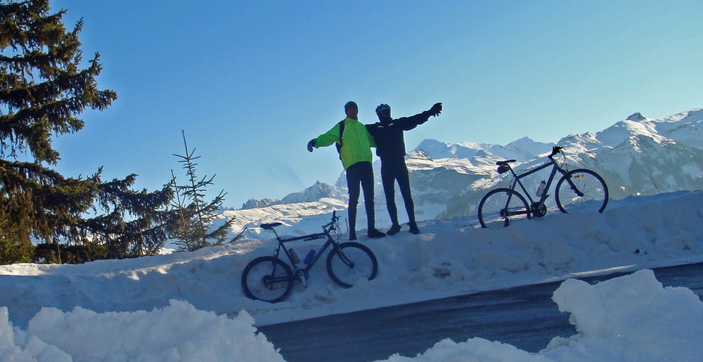
Winter ride up to the legendary Col de Joux Plane.
Armstrong suffered here in 2000 against Virenque. In 2006, it was the last climb on the "miracle" Landis day.
Ulteriori informazioni sotto
http://www.cycling-challenge.com/col-de-joux-plane-in-winter/Galleria itinerari
Mappa itinerario e altimetria
Altezza minima 653 m
Altezza massima 1705 m
Commenti

We started in Morrilon for 5 flat kms. At samoens just follow the signs to Joux Plane.
In summer a road bike is OK.
In winter, the route is kept fairly clear for the ski de Fond at the top, but the roads are still slippery.
Tracce GPS
Punti di traccia-
GPX / Garmin Map Source (gpx) download
-
TCX / Garmin Training Center® (tcx) download
-
CRS / Garmin Training Center® (crs) download
-
Google Earth (kml) download
-
G7ToWin (g7t) download
-
TTQV (trk) download
-
Overlay (ovl) download
-
Fugawi (txt) download
-
Kompass (DAV) Track (tk) download
-
Scheda tecnica (pdf) download
-
File originale dell'autore (gpx) download
Aggiungi ai miei preferiti
Rimuovi dai miei preferiti
Modifica dei tag
Tour aperto
Il mio voto
Vota


