

Deze Tour Start in de Commandeurstraat te Mechelen.
Waarna de tocht naar het Elzetterbos gaat en vandaar overgaat in het Vijlenerbos.
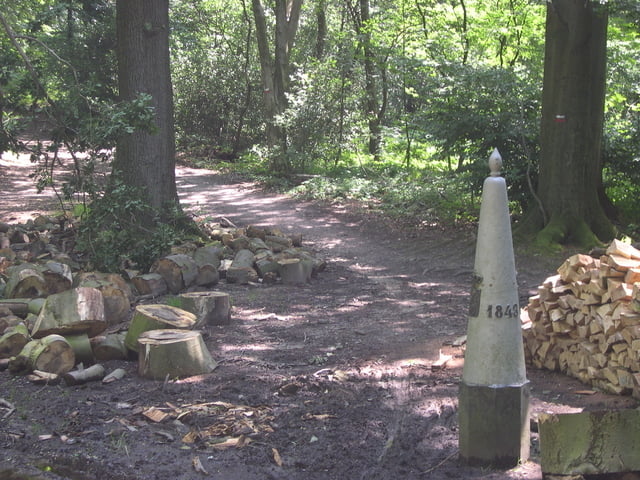
Dan gaat de tocht verder door het Vijlenerbos richting de Grens met Belgie bij de Wolfhaag/Gemmenich.
Vandaar uit gaan we naar het 3 landenpunt in Vaals.
Waarna de tocht verder gaat door het Akenerbos,met enige mooie singletrails
Hierna gaat de tocht terug naar het 3 landenpunt,vanwaar uit we weer relaxed terug rijden richting mechelen.
This Tour starts in the commander street at Mechelen. Where upon the tour to the Elzetterwood goes and hence proceeds in the Vijlenerbos, Then the tour goes further by the Vijlenerwood direction the border with Belgium at the Wolfhaag/Gemmenich. Hence from we go to 3 the country point in faded. Where upon the excursion further goes by the Akenerwood, with some beautiful singletrails Hereafter the excursion returns to 3 the country point, from where from we relaxed drive direction mechelen. Pay attention to!! The excursion crosses himself at some places ..... at enters of the first bunch route to the left takes.
Dieser tour beginnt in der Commandeurtstraße bei Mechelen. Worauf die tour zum Elzetterwald geht und folglich im Vijlenerwald fortfährt, Dann geht die tour weiter durch den Vijlenerwald Richtung der Rand mit Belgien am Wolfhaag/Gemmenich. Folglich gehen wir zu den 3 Landerpunkt . Worauf die weitere tour durch den Aachenerwald geht, mit etwas schönen singletrails. Nachher komt die tour zuruck bis den 3 landerpunkt, von zurück, dem von uns Antriebsdrehrichtung mechelen sich entspannte. Lohnaufmerksamkeit zu!! Die Exkursion kreuzt sich an einigen Plätzen ..... an hereinkommt vom ersten Bündelweg linksaf Nehmen.
Galleria itinerari

Mappa itinerario e altimetria
Altezza minima 99 m
Altezza massima 350 m
Maggiori informazioni sull'autore del tour
|
|
BertAusten |
Commenti

Mechelen, Commandeurstraat 6281 AM
Tracce GPS
Punti di traccia-
GPX / Garmin Map Source (gpx) download
-
TCX / Garmin Training Center® (tcx) download
-
CRS / Garmin Training Center® (crs) download
-
Google Earth (kml) download
-
G7ToWin (g7t) download
-
TTQV (trk) download
-
Overlay (ovl) download
-
Fugawi (txt) download
-
Kompass (DAV) Track (tk) download
-
Scheda tecnica (pdf) download
-
File originale dell'autore (gpx) download
Maggiori informazioni sull'autore del tour
|
|
BertAusten |
Aggiungi ai miei preferiti
Rimuovi dai miei preferiti
Modifica dei tag
Tour aperto
Il mio voto
Vota