


MTB IN THE LESSER KNOWN PARTS OF TUSCANY
Tours
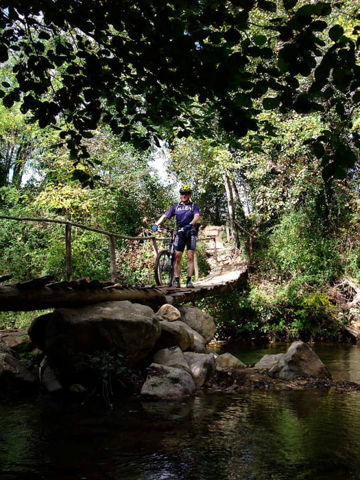
Val di Merse is situated just south of Siena. For more route tips visit the link below.
Not that much single trails but lots of white dirt roads, "strade bianche".
This tour starts and ends at the monastery of San Galgano. Note that the fee for the car park is quite expensive. We parked for free along the main road.
Food: There is a restaurant/bar at the monastery. Bring your own stuff if you want something en-route.
Maps
It's hard to get good maps of this area. There is the Kompass 661 Siena-Chianti Colline Senesi 1:50000, a bit crappy if you ask me. The best map we could get our hands on is Montagnola Senese 1:35000, Globalmap ISBN 88-7914-351-4. None of the maps are GPS compatible.
Accomodation
More than you can shake a stick at. Try this web site: www.agrituristsiena.com
Ulteriori informazioni sotto
http://bici.terresiena.it/Galleria itinerari


Mappa itinerario e altimetria
Altezza minima 259 m
Altezza massima 487 m
Maggiori informazioni sull'autore del tour
|
|
Eva |
Commenti

Tracce GPS
Punti di traccia-
GPX / Garmin Map Source (gpx) download
-
TCX / Garmin Training Center® (tcx) download
-
CRS / Garmin Training Center® (crs) download
-
Google Earth (kml) download
-
G7ToWin (g7t) download
-
TTQV (trk) download
-
Overlay (ovl) download
-
Fugawi (txt) download
-
Kompass (DAV) Track (tk) download
-
Scheda tecnica (pdf) download
-
File originale dell'autore (gpx) download
Maggiori informazioni sull'autore del tour
|
|
Eva |
Aggiungi ai miei preferiti
Rimuovi dai miei preferiti
Modifica dei tag
Tour aperto
Il mio voto
Vota