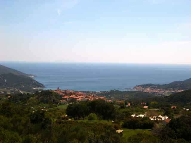
tour from Mariana di Campo to St. Iliario, Mt. Perone, Pietra Maurita, S. Piero back to Mariana di Campo.
The uphill St. Ilario Mt. Perone is steep, downhill the only diffculty is from Pietra Maurita to direction of Seccetto. (I think you could also go down from waypoint 28 to 32 =sentiero 7 or go horizontal from waypoint 28 on sentiero 34 to the street Perone/St. Ilario).
The uphill St. Ilario Mt. Perone is steep, downhill the only diffculty is from Pietra Maurita to direction of Seccetto. (I think you could also go down from waypoint 28 to 32 =sentiero 7 or go horizontal from waypoint 28 on sentiero 34 to the street Perone/St. Ilario).
Ulteriori informazioni sotto
http://www.gps-tour.info/tours/view.php?action=view&entity=list&limitstart=0&country=Italien&federal=ToskanaGalleria itinerari
Mappa itinerario e altimetria
Altezza minima 2 m
Altezza massima 627 m
Commenti
Portoferrario, Locana, Marina di Campo.
Tracce GPS
Punti di traccia-
GPX / Garmin Map Source (gpx) download
-
TCX / Garmin Training Center® (tcx) download
-
CRS / Garmin Training Center® (crs) download
-
Google Earth (kml) download
-
G7ToWin (g7t) download
-
TTQV (trk) download
-
Overlay (ovl) download
-
Fugawi (txt) download
-
Kompass (DAV) Track (tk) download
-
Scheda tecnica (pdf) download
-
File originale dell'autore (gpx) download
Aggiungi ai miei preferiti
Rimuovi dai miei preferiti
Modifica dei tag
Tour aperto
Il mio voto
Vota


Lieber nicht versuchen...