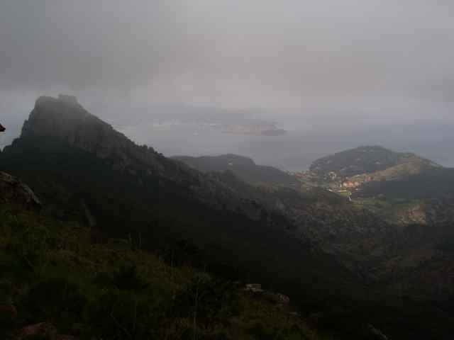
tour from Porto Azzuro, to Rio Elba (street), from there on the mountain top back to Porto Azzuro. Short before Porto Azzuro the track leaves the normal way down to Porto Azzuro (wsee other tracks on this side), using a hard downhill back to Aquabuona.
Hike duration about 10minutes, the rest you can drive.
Hike duration about 10minutes, the rest you can drive.
Ulteriori informazioni sotto
http://www.gps-tour.info/tours/view.php?action=view&entity=list&limitstart=0&country=Italien&federal=ToskanaGalleria itinerari
Mappa itinerario e altimetria
Altezza minima -9 m
Altezza massima 513 m
Commenti

Portoferrario in direction Porto Azzuro, park near the Aquabona golf center.
Tracce GPS
Punti di traccia-
GPX / Garmin Map Source (gpx) download
-
TCX / Garmin Training Center® (tcx) download
-
CRS / Garmin Training Center® (crs) download
-
Google Earth (kml) download
-
G7ToWin (g7t) download
-
TTQV (trk) download
-
Overlay (ovl) download
-
Fugawi (txt) download
-
Kompass (DAV) Track (tk) download
-
Scheda tecnica (pdf) download
-
File originale dell'autore (gpx) download
Aggiungi ai miei preferiti
Rimuovi dai miei preferiti
Modifica dei tag
Tour aperto
Il mio voto
Vota


