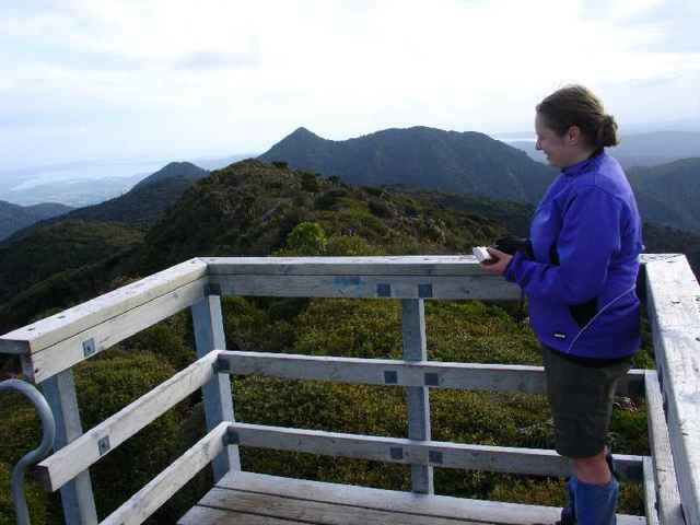
For this trip we went up Mt Pirongia via the Tirohanga Track, stayed the night at the Pahautea Hut and the top and then returned via the Kaniwhaniwa Track.
Galleria itinerari
Mappa itinerario e altimetria
Altezza minima 73 m
Altezza massima 967 m
Commenti

Grey Rd
Tracce GPS
Punti di traccia-
GPX / Garmin Map Source (gpx) download
-
TCX / Garmin Training Center® (tcx) download
-
CRS / Garmin Training Center® (crs) download
-
Google Earth (kml) download
-
G7ToWin (g7t) download
-
TTQV (trk) download
-
Overlay (ovl) download
-
Fugawi (txt) download
-
Kompass (DAV) Track (tk) download
-
Scheda tecnica (pdf) download
-
File originale dell'autore (gpx) download
Aggiungi ai miei preferiti
Rimuovi dai miei preferiti
Modifica dei tag
Tour aperto
Il mio voto
Vota


