
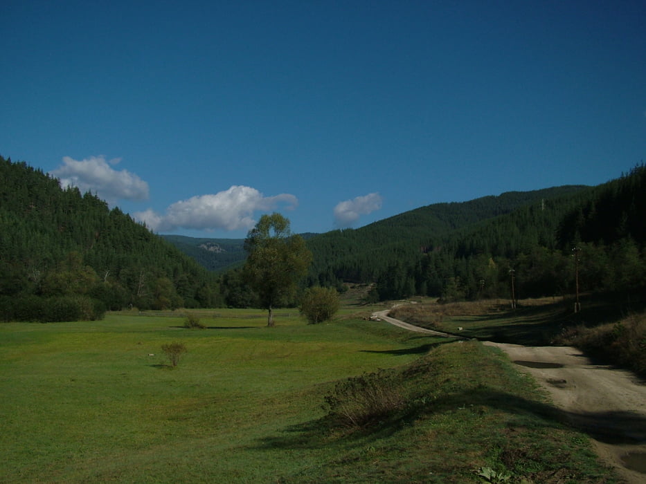

Half day journey in the vicinity of Velingrad. It leads along the valley of Ablanitsa River up to the village of Sveta Petka from which it goes along the ridge of Ostrets up to Vodni Kamak area. From this point following the forest road down on the slopes of Ostrets the route returns back to Velingrad.
Ulteriori informazioni sotto
http://www.rudopia.orgGalleria itinerari


Mappa itinerario e altimetria
Altezza minima 759 m
Altezza massima 1252 m
Maggiori informazioni sull'autore del tour
|
|
Pirateria |
Commenti

Tracce GPS
Punti di traccia-
GPX / Garmin Map Source (gpx) download
-
TCX / Garmin Training Center® (tcx) download
-
CRS / Garmin Training Center® (crs) download
-
Google Earth (kml) download
-
G7ToWin (g7t) download
-
TTQV (trk) download
-
Overlay (ovl) download
-
Fugawi (txt) download
-
Kompass (DAV) Track (tk) download
-
Scheda tecnica (pdf) download
-
File originale dell'autore (gpx) download
Maggiori informazioni sull'autore del tour
|
|
Pirateria |
Aggiungi ai miei preferiti
Rimuovi dai miei preferiti
Modifica dei tag
Tour aperto
Il mio voto
Vota