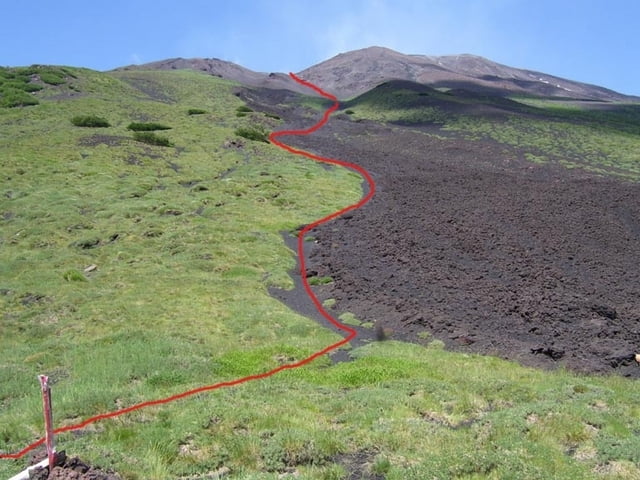
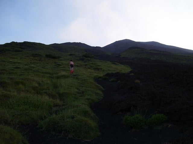
Hike from the Rif.Citelli to a lookout-point to the Valle del Bove. We used this to see Red Lava in the late evening / night.
There is no footpath, but more or less steep sandy straight uphill walking.
Because there is no footpath, it can be difficult to find down in the night, even with flashlights and a GPS.
Galleria itinerari
Mappa itinerario e altimetria
Altezza minima 1718 m
Altezza massima 2365 m
Commenti

Starts at the Rifugio Citelli at the Etna Nord region
Tracce GPS
Punti di traccia-
GPX / Garmin Map Source (gpx) download
-
TCX / Garmin Training Center® (tcx) download
-
CRS / Garmin Training Center® (crs) download
-
Google Earth (kml) download
-
G7ToWin (g7t) download
-
TTQV (trk) download
-
Overlay (ovl) download
-
Fugawi (txt) download
-
Kompass (DAV) Track (tk) download
-
Scheda tecnica (pdf) download
-
File originale dell'autore (gpx) download
Aggiungi ai miei preferiti
Rimuovi dai miei preferiti
Modifica dei tag
Tour aperto
Il mio voto
Vota


