
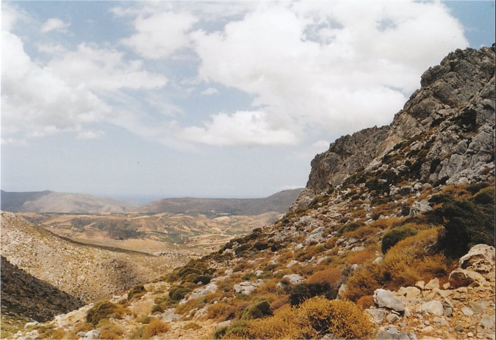

This is a hiking-track in the area of Zakros (Eastern End of Crete).
It is a nice trip along the E4 European hiking route, going up from the town of Zakros to the chapel of Ag. Gheorgios at Skalia. On the way, you can make a small detour and visit the source of Zakros river with its clear water.
You can take the same track for both ways (the provided GPX-file only covers one way), or go on from Skalia following the E4 to the town of Ziros (approx. an additional 2 hours). However, you will need to organise transport from Ziros back to Zakros.
The walk is very well waymarked with E4 signs and it is fairly easy to walk.
Take a good amount of water with you, because there is virtually no shadow on the way.
Galleria itinerari


Mappa itinerario e altimetria
Altezza minima 15 m
Altezza massima 639 m
Maggiori informazioni sull'autore del tour
|
|
Kretakulk |
Commenti

The track starts at the southern end of the town of Zakros where the roads begin towards Kato Zakros and Xerokampo.
Tracce GPS
Punti di traccia-
GPX / Garmin Map Source (gpx) download
-
TCX / Garmin Training Center® (tcx) download
-
CRS / Garmin Training Center® (crs) download
-
Google Earth (kml) download
-
G7ToWin (g7t) download
-
TTQV (trk) download
-
Overlay (ovl) download
-
Fugawi (txt) download
-
Kompass (DAV) Track (tk) download
-
Scheda tecnica (pdf) download
-
File originale dell'autore (gpx) download
Maggiori informazioni sull'autore del tour
|
|
Kretakulk |
Aggiungi ai miei preferiti
Rimuovi dai miei preferiti
Modifica dei tag
Tour aperto
Il mio voto
Vota