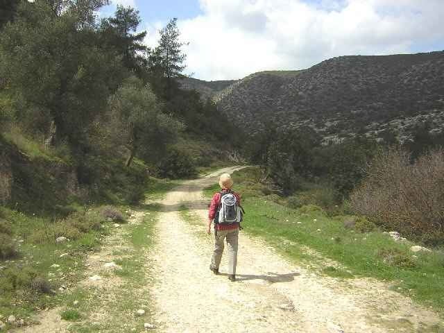
At the Shrine of the 318 Fathers, in the village of Pano Archimandrita, climb over the rails and make your way down to the valley. The hike then takes you through the deserted village of Kato Archimandrita, with its small, still used church. Following the track will take you into the Gorge proper. The hike sticks to the right hand gorge floor until it becomes almost impassable. Then the walk rises up and out of the Gorge with great views.
Gradually turning left all the time, there is a climb up and over a high ridge. From the crest of the ridge you can see below in the distance, the deserted village that you passed through some hours ago. Making for the village, you return on the same path back to the parking place. I did the walk in March 06 and the conditions were perfect. Later on in the summer, the conditions may be far too hot to enjoy. It is a long walk so be prepared
Gradually turning left all the time, there is a climb up and over a high ridge. From the crest of the ridge you can see below in the distance, the deserted village that you passed through some hours ago. Making for the village, you return on the same path back to the parking place. I did the walk in March 06 and the conditions were perfect. Later on in the summer, the conditions may be far too hot to enjoy. It is a long walk so be prepared
Galleria itinerari
Mappa itinerario e altimetria
Altezza minima 196 m
Altezza massima 441 m
Commenti

The walk starts from the village of Pano Archimandrita. Take the main B6 road from Paphos to Limmassol and at Kouklia take a left turn on the F612 to Pano Archimandrita. Arriving at the village, look for a sign “Caves of the 318 Fathers”. At the end of a short road, there is a small parking place with a magnificent view. A short walk down some steps, takes you to a small shrine holding the bones of 318 persecuted Christians.
Tracce GPS
Punti di traccia-
GPX / Garmin Map Source (gpx) download
-
TCX / Garmin Training Center® (tcx) download
-
CRS / Garmin Training Center® (crs) download
-
Google Earth (kml) download
-
G7ToWin (g7t) download
-
TTQV (trk) download
-
Overlay (ovl) download
-
Fugawi (txt) download
-
Kompass (DAV) Track (tk) download
-
Scheda tecnica (pdf) download
-
File originale dell'autore (gpx) download
Aggiungi ai miei preferiti
Rimuovi dai miei preferiti
Modifica dei tag
Tour aperto
Il mio voto
Vota


