


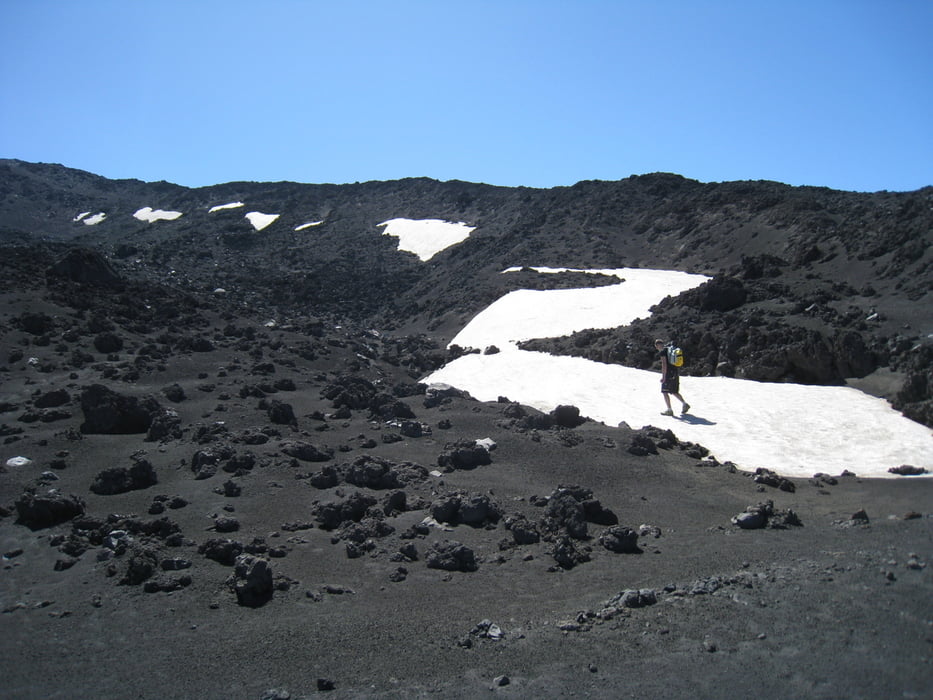
The must thing to see in Sicily is Etna. It's a long and heavy walk, but something to experience. Take enough food and drink and some wind proof (and warm) clothing. It's quite chilly at the top even if it's warm in the lower regions. Most of the walk is on a road, except the start and the very end. At start it's downhill skiing slope (nice & open terrain). At the end it's just plain path like climb.
Unfortunately, I did not see any lava, did not feel any earth shaking, but the scenery was great.
25Km for the round trip. The GPS track is oneway track, simplified with GPSBabel to approx 2500 points.
Galleria itinerari
Mappa itinerario e altimetria
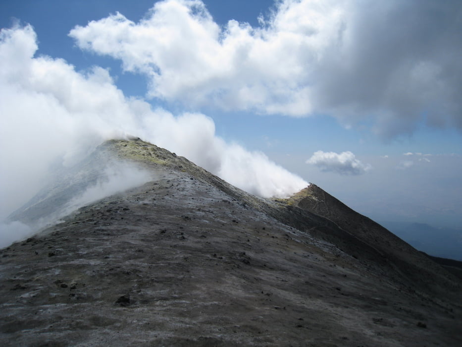
Altezza minima 1802 m
Altezza massima 3291 m
Maggiori informazioni sull'autore del tour

|
japa-fi |
Commenti

Drive to Piano Provenzana by car by following Etna North -signs.
Tracce GPS
Punti di traccia-
GPX / Garmin Map Source (gpx) download
-
TCX / Garmin Training Center® (tcx) download
-
CRS / Garmin Training Center® (crs) download
-
Google Earth (kml) download
-
G7ToWin (g7t) download
-
TTQV (trk) download
-
Overlay (ovl) download
-
Fugawi (txt) download
-
Kompass (DAV) Track (tk) download
-
Scheda tecnica (pdf) download
-
File originale dell'autore (gpx) download
Maggiori informazioni sull'autore del tour
|
|
japa-fi |
Aggiungi ai miei preferiti
Rimuovi dai miei preferiti
Modifica dei tag
Tour aperto
Il mio voto
Vota