

Goal of this trip was to cruise along the Cote d'Azur, always as close to the water as possible.
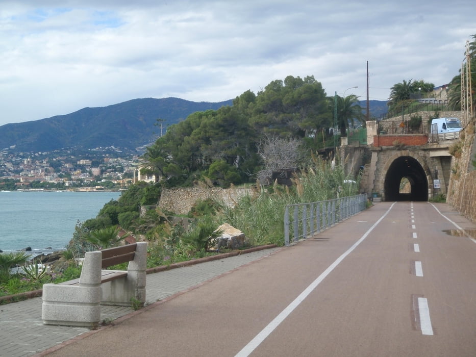
Almost exclusively the track is on paved roads with good condition - only a few times I took a beach road which was not paved / in bad condition. If travelling with a pure road-bike, just take the parallel road. Quite a large part of the trip is on bike paths, sometimes on an old railroad which is very nice. The nicest part of the trip is Cannes - Saint-Tropez, but all the way stunning views!
I did this trip in 4 days:
1: Albenga - Monte Carlo
2: Monte Carlo - Cannes
3: Cannes - Saint Maxime
4: Saint Maxime - Toulon
On day 3 it might be of advantage to stay in Saint Tropez instead, but it is difficult to find a hotel there so I stayed in Saint-Maxime. Cannes - Saint Maxime is rather short, so I had still enough time to bike to Saint-Tropez in the afternoon.
Mappa itinerario e altimetria
Altezza minima -7 m
Altezza massima 132 m
Maggiori informazioni sull'autore del tour

|
jhurlebaus |
Commenti

By car or train to Albenga.
I stayed in the "Residence Sole" in Albenga. There is a locked parking lot where I could leave my car for the days when I was gone.
Train back from Toulon to Albenga is no problem, about 5 hours. Just make sure you catch a train that allows bikes.
Tracce GPS
Punti di traccia-
GPX / Garmin Map Source (gpx) download
-
TCX / Garmin Training Center® (tcx) download
-
CRS / Garmin Training Center® (crs) download
-
Google Earth (kml) download
-
G7ToWin (g7t) download
-
TTQV (trk) download
-
Overlay (ovl) download
-
Fugawi (txt) download
-
Kompass (DAV) Track (tk) download
-
Scheda tecnica (pdf) download
-
File originale dell'autore (gpx) download
Maggiori informazioni sull'autore del tour
|
|
jhurlebaus |
Aggiungi ai miei preferiti
Rimuovi dai miei preferiti
Modifica dei tag
Tour aperto
Il mio voto
Vota