
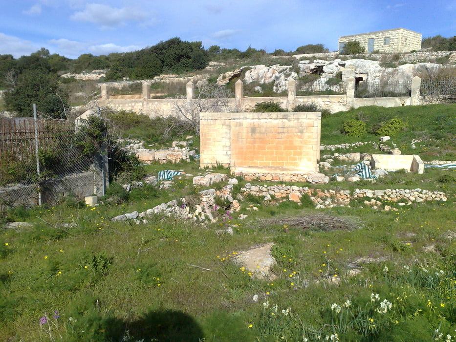

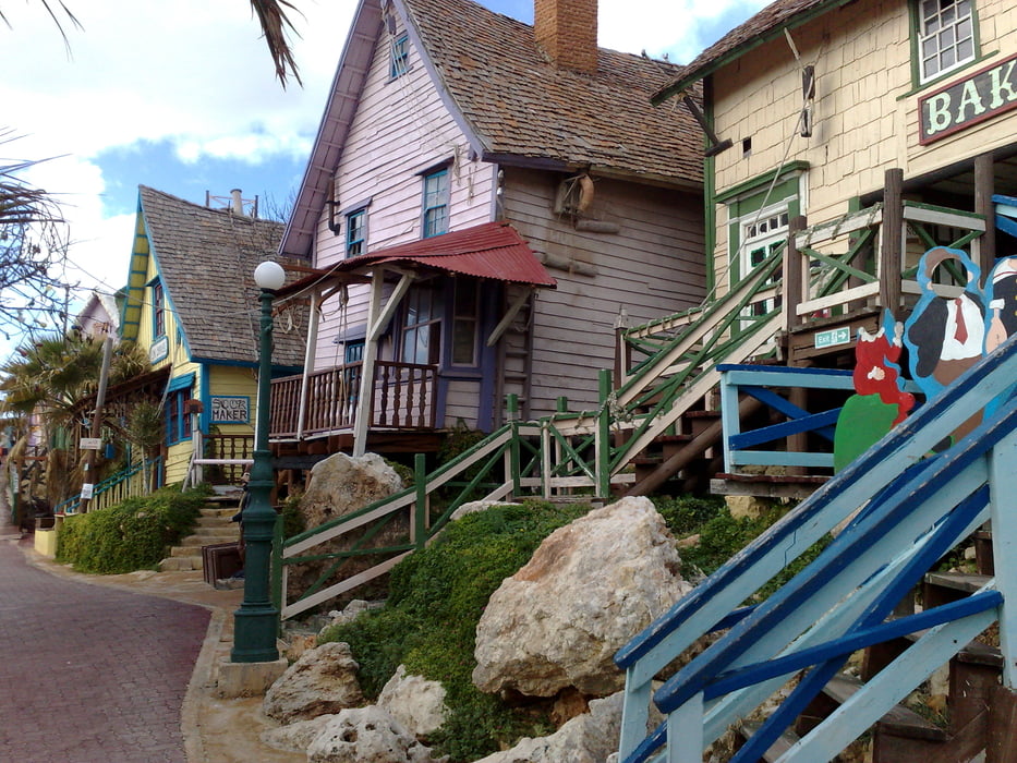
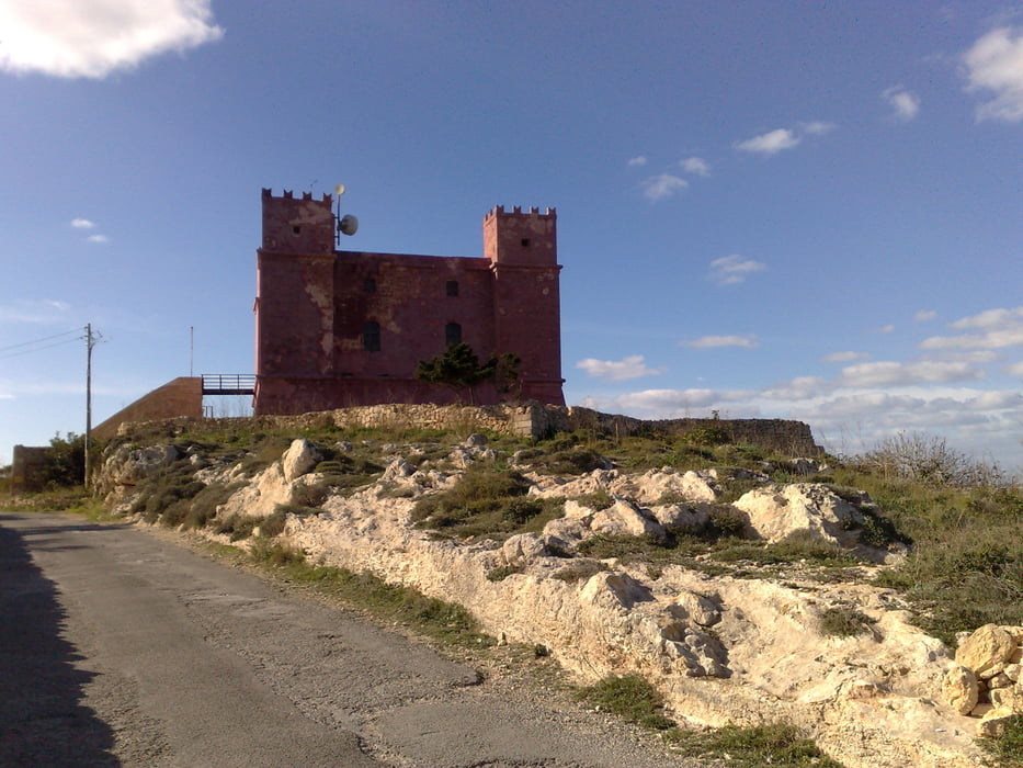
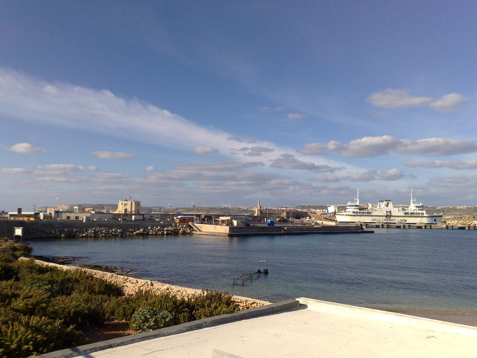
This trip takes you from Malta´s north shore (St. Paul's bay) to ferries port for Gozo in Cirkewwa, going through some sightseeing points in the island, which include some ruins (roman baths), popeye´s village (where the movie was filmed and now a touristic atraction for children and the red tower (one of the many survaillance towers in the island as protection against arabs and turks).
It is not difficult, since you drive along paved roads (because there are not many options in Malta), but bear in mind that you must be very careful and drive on the left side !!
In Malta half of the road you go upwards, which demands a good condition, and the other half you go downwards, so you better press the breaks. If it is not the highways, all other roads are 2nd and 3rd class roads, so it is impossible to think about speeding. The risk that you land hardly and painfully over the road because of a hole (or crater) is high.
Galleria itinerari
Mappa itinerario e altimetria
Altezza minima 42 m
Altezza massima 178 m
Maggiori informazioni sull'autore del tour

|
alonso100 |
Commenti

This tour is Ok if your hotel is located somewhere in or close to the north shore.
Tracce GPS
Punti di traccia-
GPX / Garmin Map Source (gpx) download
-
TCX / Garmin Training Center® (tcx) download
-
CRS / Garmin Training Center® (crs) download
-
Google Earth (kml) download
-
G7ToWin (g7t) download
-
TTQV (trk) download
-
Overlay (ovl) download
-
Fugawi (txt) download
-
Kompass (DAV) Track (tk) download
-
Scheda tecnica (pdf) download
-
File originale dell'autore (gpx) download
Maggiori informazioni sull'autore del tour
|
|
alonso100 |
Aggiungi ai miei preferiti
Rimuovi dai miei preferiti
Modifica dei tag
Tour aperto
Il mio voto
Vota