


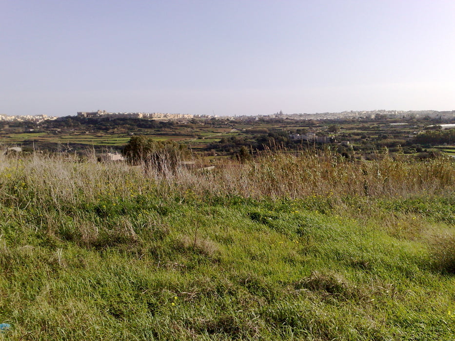
This tour is ideal if your hotel lyes somewhere in the north shore of the island. It is not difficult and 33% of the route you go upwards, 33% you go downwards and the rest it is flat. You drive partially along the country roads, but there´s not much traffic, except along the highway.
Mdina is a very beautiful city, within defensive walls, but believe it or not, it has around 500 inhabitants, most of them great grandchildren and great great grandchildren of people belonging to the nobility or whealthy persons. The poor people live in Rabat.
I made this tour kind of a cultural one, since I drove to archeological sites and to Mdina as final destination. Unfortunately, the "temples" Skorba and Ta Hagrat are nowadays nothing else but a couple of rocks. Time and men are guilty for destruction of this antique sites. There´s not much information about what people built the temples. Visiting it is not possible, since a fence protects the sites.
Be aware that some sections of the tour go up much in a short distance, so good condition is a must.
Galleria itinerari


Mappa itinerario e altimetria
Altezza minima 41 m
Altezza massima 231 m
Maggiori informazioni sull'autore del tour

|
alonso100 |
Commenti

Tracce GPS
Punti di traccia-
GPX / Garmin Map Source (gpx) download
-
TCX / Garmin Training Center® (tcx) download
-
CRS / Garmin Training Center® (crs) download
-
Google Earth (kml) download
-
G7ToWin (g7t) download
-
TTQV (trk) download
-
Overlay (ovl) download
-
Fugawi (txt) download
-
Kompass (DAV) Track (tk) download
-
Scheda tecnica (pdf) download
-
File originale dell'autore (gpx) download
Maggiori informazioni sull'autore del tour
|
|
alonso100 |
Aggiungi ai miei preferiti
Rimuovi dai miei preferiti
Modifica dei tag
Tour aperto
Il mio voto
Vota