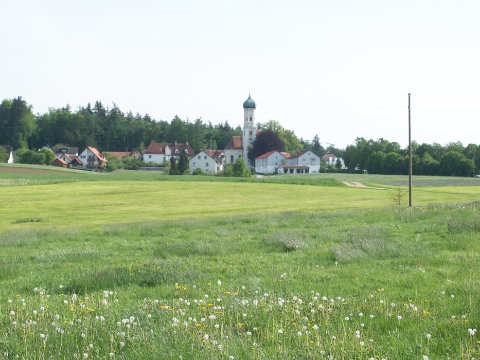
Kleine Wanderung im Zusamtal.
Gestartet wird die Wanderung an einem der Parkplätze der Wallfahrtskirche Maria Vesperbild.
Auf einer kleinen Teerstraße geht es zunächst hinab zum Ortsrand von Muttershofen.
Kurz nach einer riesigen Buche führt eine wenig befahrene Ortsverbindungsstraße zum höchsten Punkt der Wanderung: Hellersberg.
Sonntagnachmittags gehts dann zur Schankwirtschaft Schedler mit selbstgemachtem Kaffee und Kuchen (sehr empfehlenswert - gibt aber manchmal wegen zu großem Andrang Platzprobleme).
Auf Teer geht es zunächst in Richtung Memmenhausen. An einer Kreuzung führt die Route dann links hinunter zum Schellenbachtal.
Am Weiher geht es links auf einem Pfad in den Wald. Am Waldrand wird eine kl. Holzkapelle passiert bevor es zunächst über eine Wiese, dann abermals in den Wald geht.
An Bauhofen vorbei geht es auf gut ausgebautem Waldweg zur vielbesuchten Grotte empor und schließlich wieder zurück zum Ausgangspunkt.
Empfehlenswert ist noch ein Besuch der Wallfahrtskirche Maria Vesperbild
siehe auch www.maria-vesperbild.de
Galleria itinerari
Mappa itinerario e altimetria
Commenti

Tracce GPS
Punti di traccia-
GPX / Garmin Map Source (gpx) download
-
TCX / Garmin Training Center® (tcx) download
-
CRS / Garmin Training Center® (crs) download
-
Google Earth (kml) download
-
G7ToWin (g7t) download
-
TTQV (trk) download
-
Overlay (ovl) download
-
Fugawi (txt) download
-
Kompass (DAV) Track (tk) download
-
Scheda tecnica (pdf) download
-
File originale dell'autore (gpx) download


