


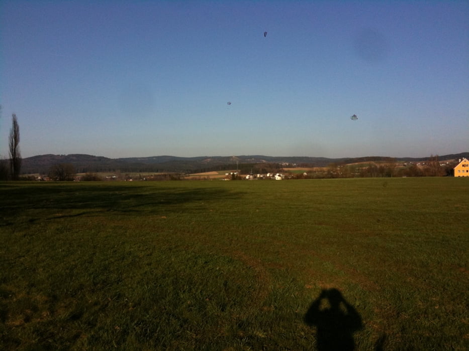
Beginn, Sportplatz Keplergymnasium. Immer den Schilder folgen, Rotes Dreieck auf weißen Hintergrund (Keplerpfad) oder auch Blaue Schlangenlinie auf weißem Hintergrund (Panoramaweg). Hier beginnt oder endet der Keplerpfad, der bis hin zur Silberhütte führt. Schöne Feldwege nach Edeldorf, danach Anstieg im Wald bis zum Parkplatz an der Theisseiler Straße. Straße überqueren und gleich rein in den Wald. Danach kommt ein herrlicher Blick in die Weite, man sieht auch bis in den Naturpark Steinwald in TIR. Denn schönen Waldwegen folgen über eine Wiese runter nach Welsenhof.
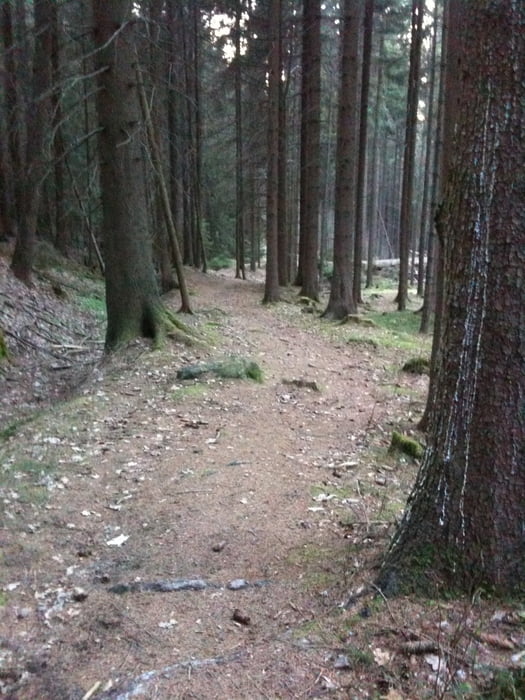
Danach folgt ein kleines Highlight, der Waldabschnitt "Doost". Steine, Wurzeln, Bäche, Abfahrten. Schöner Naturwald, dem man über eine Steinbrücke verlässt. Kleines Straßenstück richtung Schnepfenhof, anschließend nach rechts, Feldweg berauf. Immer dem "Roten Dreiek Schild" folgen, bishin nach Boxdorf. Hier hat man einen Weitblick zur Floßenbürger Burg und der Silberhütte. Hier endet in meiner Tour der Keplerpfad.
Weiter gehts über flache Feldwege und später ein eine Waldabschnitt nach Letzau (viele Wege führen nach Letzau ;-) ) Man fährt immer Richtung Funkturm, den man auch passiert.
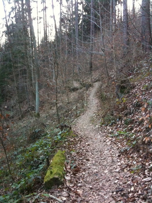
Nun heißt es Sattel runter und die Abfahrt genießen !!! Kleiner Singletrail Richtung Vierlingsturm. An der Kreuzung rechts Abbiegen und die Route mit der Weiß-Rot-Weißen Markierung nehmen. Schöner Downhilltrail bis Parkplatz Vohenstraußer Straße. Rechts nach oben rüber auf die Andere Seite zum Parkplatz und links hinunter zur Blockhütte die man rechts liegen lässt. Einfach auf den Weg schön laufen lassen ohne jegliche Steine oder Wurzeln. Man kann es wunderbaur ausklingen lassen am flotten Trail.
Galleria itinerari

Mappa itinerario e altimetria
Altezza minima 392 m
Altezza massima 653 m
Maggiori informazioni sull'autore del tour

|
Mihai |
Commenti
Tracce GPS
Punti di traccia-
GPX / Garmin Map Source (gpx) download
-
TCX / Garmin Training Center® (tcx) download
-
CRS / Garmin Training Center® (crs) download
-
Google Earth (kml) download
-
G7ToWin (g7t) download
-
TTQV (trk) download
-
Overlay (ovl) download
-
Fugawi (txt) download
-
Kompass (DAV) Track (tk) download
-
Scheda tecnica (pdf) download
-
File originale dell'autore (gpx) download
Maggiori informazioni sull'autore del tour
|
|
Mihai |
Aggiungi ai miei preferiti
Rimuovi dai miei preferiti
Modifica dei tag
Tour aperto
Il mio voto
Vota
Txs for the ride
1) short pants
2) jumped of a log with mtb on my shoulders into the tall grass without checking if there was a hidden puddle of mud and water...
3) forgot to load the map into my gps, so I only had the track to follow. I do not know what device the author used to track this ride, but it seems to be very slow taking corners, every corner was a big smooth curve. Before we adjusted to this we spent too much time going back at times to figure out where to go. Some streches through the woods are blocked by fallen trees.
All in all we had a great time though. Thanks for the ride!