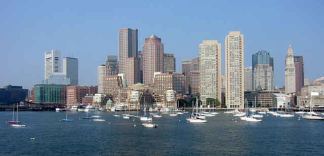
Ulteriori informazioni sotto
http://www.thefreedomtrail.org/Mappa itinerario e altimetria
Altezza minima -59 m
Altezza massima 343 m
Commenti
Tracce GPS
Punti di traccia-
GPX / Garmin Map Source (gpx) download
-
TCX / Garmin Training Center® (tcx) download
-
CRS / Garmin Training Center® (crs) download
-
Google Earth (kml) download
-
G7ToWin (g7t) download
-
TTQV (trk) download
-
Overlay (ovl) download
-
Fugawi (txt) download
-
Kompass (DAV) Track (tk) download
-
Scheda tecnica (pdf) download
-
File originale dell'autore (gpx) download
Aggiungi ai miei preferiti
Rimuovi dai miei preferiti
Modifica dei tag
Tour aperto
Il mio voto
Vota


Fantastic Tour In The City
Pls remark more comments to this tour.
The solution of Google earth are realy amazing.