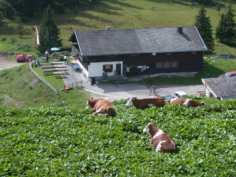
Die sogenannte SCHIRMER-RUNDE. Eine weitere Runde durch das Spitzingseegebiet. Zeichnet sich durch gute Fahrbarkeit auf Forststrassen aus, keine trails, die man aber dazu kombinieren kann. Spaß macht die Abfahrt vom Spitzingsattel Richtung Ausgangspunkt auf der Teerstraße. Am Startpunkt im Lokal neben dam Cafe Donnerstags wird ab 17:30 gegrillt...
Mappa itinerario e altimetria
Commenti

A8 München Salzburg
Ausfahrt Weyarn weiter Richtung Schliersee
Nach Schliersee in der Ortschaft Neuhaus Nähe Cafe Stickel parken
Tracce GPS
Punti di traccia-
GPX / Garmin Map Source (gpx) download
-
TCX / Garmin Training Center® (tcx) download
-
CRS / Garmin Training Center® (crs) download
-
Google Earth (kml) download
-
G7ToWin (g7t) download
-
TTQV (trk) download
-
Overlay (ovl) download
-
Fugawi (txt) download
-
Kompass (DAV) Track (tk) download
-
Scheda tecnica (pdf) download
-
File originale dell'autore (gpx) download

