


Date: July 26, 2010
Start: 1674 m (mountain station of Dachstein Südwandbahn / Gletscherbahn)
Finish: 1674 m (mountain station of Dachstein Südwandbahn / Gletscherbahn)
Highest point: 2033 m (Tor)
Lowest point: 1380 m
Total ascent: 900 m
Total descent: 900 m
Information about the Dachstein Südwandbahn:
http://www.derdachstein.at
GPX file is modified, because GPS reception between Südwandhütte and Tor was extremely bad.
**************************
Do not take anything, do not leave anything!
**************************
Please, do NOT leave trash behind. Paper tissues are also trash! Chocolate wrap as well. Bring a small trash bag with you and take your trash with yourself to the next trash can. It is not that heavy.
**************************
Ulteriori informazioni sotto
http://www.beepee.hu/v/ausztria2010/dachstein/tor/Galleria itinerari


Mappa itinerario e altimetria
Altezza minima 1379 m
Altezza massima 2029 m
Maggiori informazioni sull'autore del tour
|
|
beepee |
Commenti

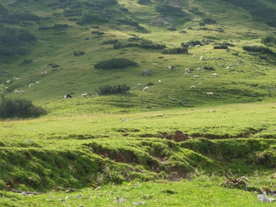
Places where you can eat and drink:
Dachstein Südwandbahn station: Gasthof Hungerkogel
Südwandhütte
Bachlalm
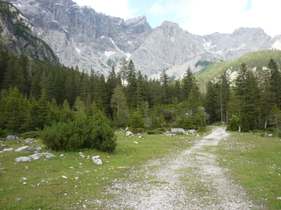
Route:
1. lower station of Dachstein Südwandbahn
2. follow signs (on the right side of the cable car building) towards Südwandhütte
3. after Südwandhütte, follow signs towards Tor / Bachlalm
4. walk right under Dachstein rocks towards Tor - it gets quite steep before reaching Tor
5. follow signs towards Bachlalm
6. before you reach Bachlalm, turn left on the road, follow signs towards Austriahütte
7. when you reach the paved road that leads cars to the cable car, follow signs towards Walcheralm Gletscherbahn
8. walk under the ski lift, then walk up to the paved road next to Hotel Dachstein
9. walk up to the cable car parking area
**************************
Do not take anything, do not leave anything!
**************************
Please, do NOT leave trash behind. Paper tissues are also trash! Chocolate wrap as well. Bring a small trash bag with you and take your trash with yourself to the next trash can. It is not that heavy.
**************************
Tracce GPS
Punti di traccia-
GPX / Garmin Map Source (gpx) download
-
TCX / Garmin Training Center® (tcx) download
-
CRS / Garmin Training Center® (crs) download
-
Google Earth (kml) download
-
G7ToWin (g7t) download
-
TTQV (trk) download
-
Overlay (ovl) download
-
Fugawi (txt) download
-
Kompass (DAV) Track (tk) download
-
Scheda tecnica (pdf) download
-
File originale dell'autore (gpx) download
Maggiori informazioni sull'autore del tour
|
|
beepee |
Aggiungi ai miei preferiti
Rimuovi dai miei preferiti
Modifica dei tag
Tour aperto
Il mio voto
Vota