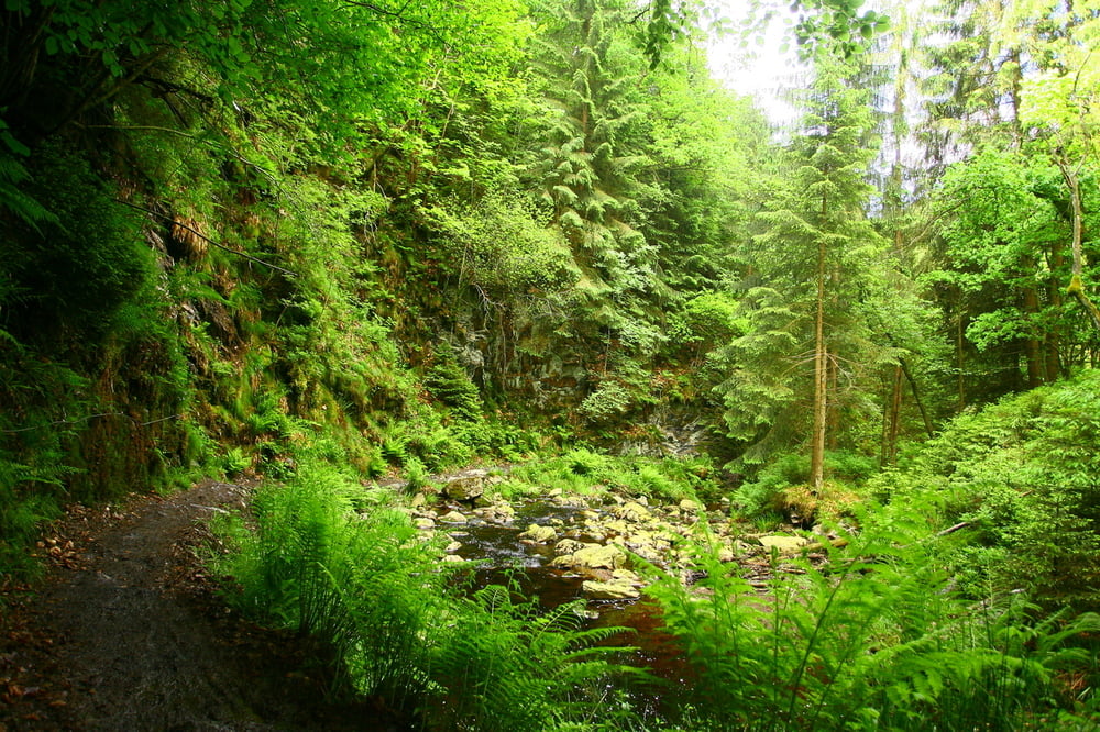
Really nice rides in the Belgian Ardennes.
The first and last part are quite easy, the middle part is completely through the forest and has some steep and technical climbs and descents, with slippery roots and rocks.
After periods of rain some parts of the track can get quite muddy.
Ulteriori informazioni sotto
http://www.les-cimes-de-waimes.be/de.htmMappa itinerario e altimetria
Altezza minima 374 m
Altezza massima 681 m
Commenti

Tracce GPS
Punti di traccia-
GPX / Garmin Map Source (gpx) download
-
TCX / Garmin Training Center® (tcx) download
-
CRS / Garmin Training Center® (crs) download
-
Google Earth (kml) download
-
G7ToWin (g7t) download
-
TTQV (trk) download
-
Overlay (ovl) download
-
Fugawi (txt) download
-
Kompass (DAV) Track (tk) download
-
Scheda tecnica (pdf) download
-
File originale dell'autore (tcx) download
Aggiungi ai miei preferiti
Rimuovi dai miei preferiti
Modifica dei tag
Tour aperto
Il mio voto
Vota


