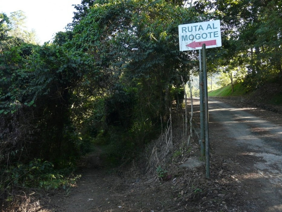
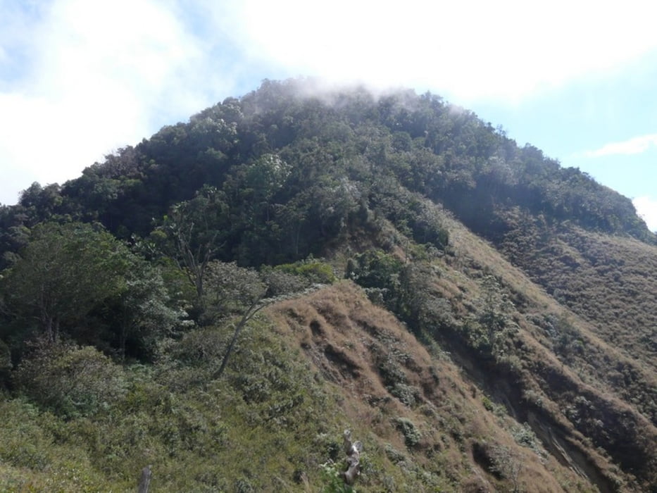
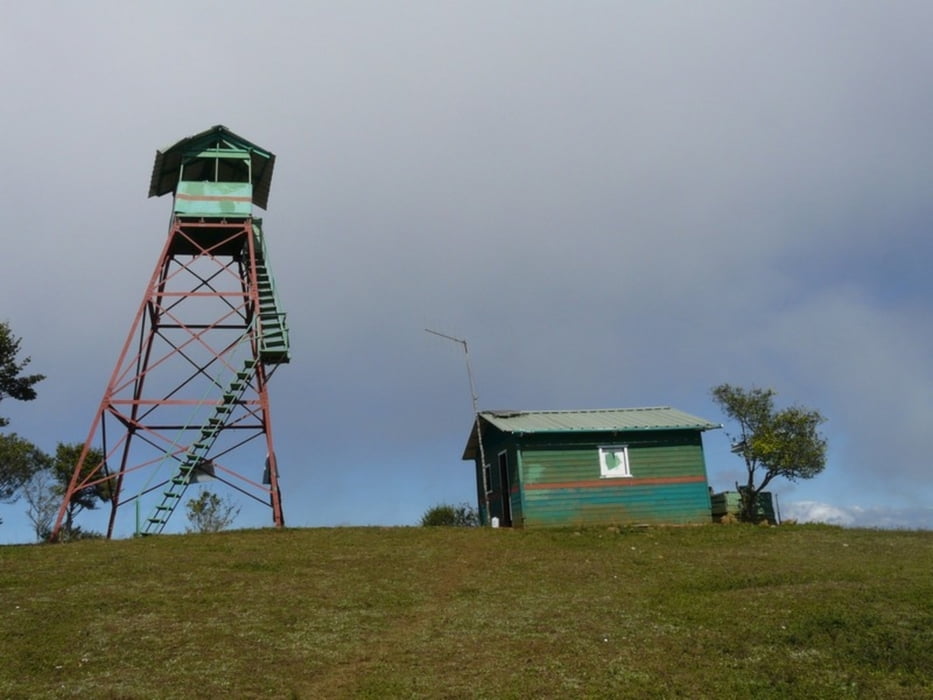
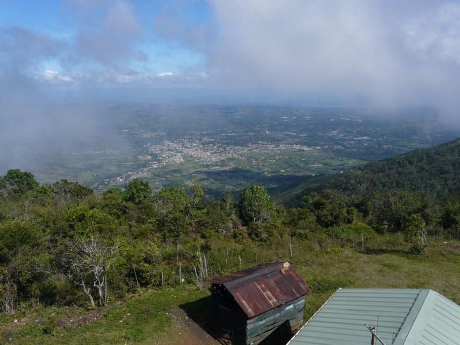
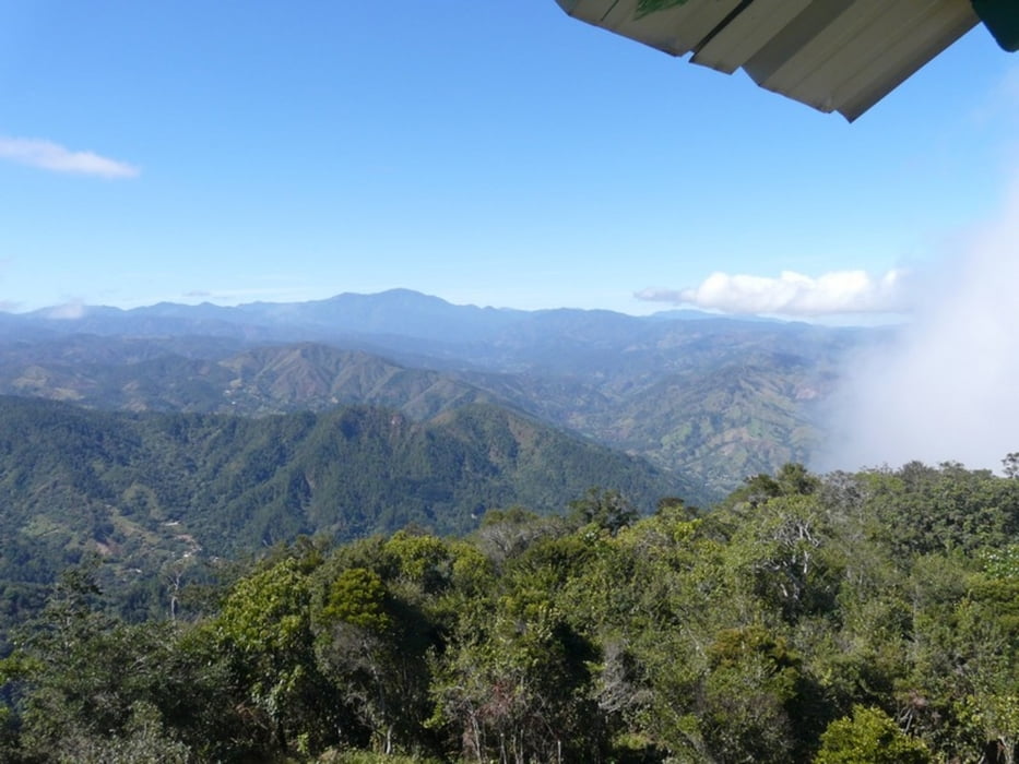
Fascinating and interesting round trip, after rainfall the ascent is very slippery and difficult. There is a guy living on the summit who monitors bush fires. On the way back you'll pass some coffee plantations.
Galleria itinerari
Mappa itinerario e altimetria
Altezza minima 666 m
Altezza massima 1528 m
Commenti

Take a motoconcho (motor cycle taxi) to get to the start and walk back to Jaracaboa (6km) for insights in typical dominican life.
Tracce GPS
Punti di traccia-
GPX / Garmin Map Source (gpx) download
-
TCX / Garmin Training Center® (tcx) download
-
CRS / Garmin Training Center® (crs) download
-
Google Earth (kml) download
-
G7ToWin (g7t) download
-
TTQV (trk) download
-
Overlay (ovl) download
-
Fugawi (txt) download
-
Kompass (DAV) Track (tk) download
-
Scheda tecnica (pdf) download
-
File originale dell'autore (gpx) download
Aggiungi ai miei preferiti
Rimuovi dai miei preferiti
Modifica dei tag
Tour aperto
Il mio voto
Vota

