


Date: January 1, 2011
Start: 1701 m (Heiligenblut Cable Car Middle Station)
Finish: 1701 m (Heiligenblut Cable Car Middle Station)
Highest point: 1960 m (Schöneck)
Lowest point: 1698 m
Total ascent: 416 m
Total descent: 416 m
Information about the Grossglockner Hochalpenstrasse:
http://www.grossglockner.at/
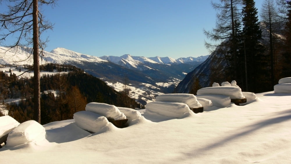
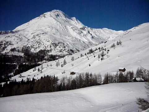
We decided to explore the Grossglockner Hochalpenstrasse like we have never before - during the winter, when it is closed to traffic. So we rented snowshoes in Heiligenblut and set off for a nice walk from the middle station of the Schareck Cable Car, walked all the way to Schöneck and back.
Amazing walk with breathtaking views!!!!!
Ulteriori informazioni sotto
http://www.beepee.hu/v/turak/ausztria1012/hotalp_2011_01_01Galleria itinerari


Mappa itinerario e altimetria
Altezza minima 1699 m
Altezza massima 1961 m
Maggiori informazioni sull'autore del tour
|
|
beepee |
Commenti

Places where you can eat and drink:
Heiligenblut
Schareck cable car middle station
Kasereck is closed for the winter!!!
Route:
1. park you car at the Toll Station of the Hochalpenstrasse, or at the Middle Station.
2. continue your trip walking on the Hochalpenstrasse
3. be careful, from the middle station until Kasereck, you are walking on a Skiroute!!
4. at Kasereck, put on you snowshoes and follow the path of the road
5. at the roundabout, turn left (towards Kaiser Franz Josefs Höhe)
6. at Schöneck, stop to take a look at the Pasterze Glacier, and turn back
7. follow the same road on the way back
Tracce GPS
Punti di traccia-
GPX / Garmin Map Source (gpx) download
-
TCX / Garmin Training Center® (tcx) download
-
CRS / Garmin Training Center® (crs) download
-
Google Earth (kml) download
-
G7ToWin (g7t) download
-
TTQV (trk) download
-
Overlay (ovl) download
-
Fugawi (txt) download
-
Kompass (DAV) Track (tk) download
-
Scheda tecnica (pdf) download
-
File originale dell'autore (gpx) download
Maggiori informazioni sull'autore del tour
|
|
beepee |
Aggiungi ai miei preferiti
Rimuovi dai miei preferiti
Modifica dei tag
Tour aperto
Il mio voto
Vota