


Date: August 5, 2011
Start: 2507 m (Hochtor)
Finish: 1120 m (Heiligenblut - Rojach)
Highest point: 2671 m (shortly before Weissenbachscharte)
Lowest point: 1120 m
Total ascent: 383 m
Total descent: 1677 m
Information about the Grossglockner Hochalpenstrasse:
http://www.grossglockner.at/
**************************
Do not take anything, do not leave anything!
**************************
Please, do NOT leave trash behind. Paper tissues are also trash! Chocolate wrap as well. Bring a small trash bag with you and take your trash with yourself to the next trash can. It is not that heavy.
**************************
Ulteriori informazioni sotto
https://picasaweb.google.com/beatahardi/2011080107HeiligenblutNyaralas?authuser=0&feat=directlinkGalleria itinerari


Mappa itinerario e altimetria
Altezza minima 1120 m
Altezza massima 2671 m
Maggiori informazioni sull'autore del tour
|
|
beepee |
Commenti

Places where you can eat and drink:
Hochtor
Fleisskuchl (Hütte by the Fleiss ski area)
Route:
1. park you car in Heiligenblut, take the bus to Hochtor, it leaves at 9:00 AM)
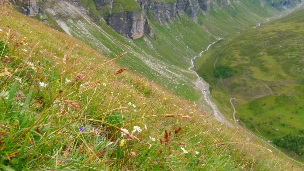
2. at Hochtor, cross the street (careful!!) then walk up, follow the signs towards Tauernkopf/Schareck. Beautiful views all around on the surrounding mountains and the Glocknerstrasse!
3. at crossings, walk towards Sonnblick
4. at Weissenbachscharte, turn right towards Heiligenblut into a beautiful green 'valley'
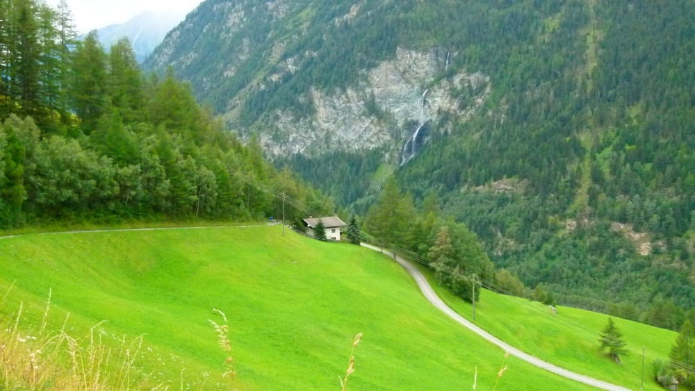
5. follow signs towards Fleisstal
6. when you reach the dirt road follow it towards Heiligenblut
7. after the gold wash place, follow signs towards Rojach, walk down the paved (in sections unpaved) road to Rojach
**************************
Do not take anything, do not leave anything!
**************************
Please, do NOT leave trash behind. Paper tissues are also trash! Chocolate wrap as well. Bring a small trash bag with you and take your trash with yourself to the next trash can. It is not that heavy.
**************************
Tracce GPS
Punti di traccia-
GPX / Garmin Map Source (gpx) download
-
TCX / Garmin Training Center® (tcx) download
-
CRS / Garmin Training Center® (crs) download
-
Google Earth (kml) download
-
G7ToWin (g7t) download
-
TTQV (trk) download
-
Overlay (ovl) download
-
Fugawi (txt) download
-
Kompass (DAV) Track (tk) download
-
Scheda tecnica (pdf) download
-
File originale dell'autore (gpx) download
Maggiori informazioni sull'autore del tour
|
|
beepee |
Aggiungi ai miei preferiti
Rimuovi dai miei preferiti
Modifica dei tag
Tour aperto
Il mio voto
Vota