


Grüni´s Traumtour im Markgräflerland Nr. 3
Gestartet wird in Müllheim am Freibad.
Über den Höhenrücken geht es nach Niederweiler, wo die Alte Brauerei zur Mittagsrast einlädt.
Das Essen ist gut und preiswert, die Wirtin ist leider nicht sehr freundlich..
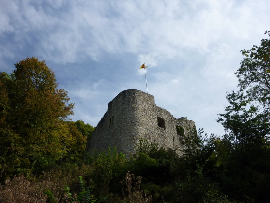
Weiter geht es zur Burg Neuenfels, wo der Hochzeits-Gutedel auf uns wartet
( Man muß ihn halt zuvor dort deponieren. Unser Dank gilt dem Felix ! ).
Nun geht es weiter über Muggart nach Lauffen, zum Weinfest der WG.
Nach einem "Pit Stop" führt uns der Weg über St. Ilgen nach Betberg.
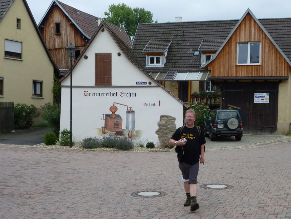
In der Rieger Straußi gibt es neuen Süßen und Zwiebelkuchen.
Den Abschluß macht man wie gewohnt bei Gutedelschorle und Wurstsalat beim Gunz in Seefelden.
Auf der gesamten Tour hat man immer wieder eine tolle Aussicht über´s wunderschöne Markgräflerland.
Wir freuen uns auf nächste Jahr.
Ulteriori informazioni sotto
http://www.markgraefler-land.com/Galleria itinerari


Mappa itinerario e altimetria
Altezza minima 219 m
Altezza massima 607 m
Maggiori informazioni sull'autore del tour
|
|
Tom19 |
Commenti

siehe Daten
Tracce GPS
Punti di traccia-
GPX / Garmin Map Source (gpx) download
-
TCX / Garmin Training Center® (tcx) download
-
CRS / Garmin Training Center® (crs) download
-
Google Earth (kml) download
-
G7ToWin (g7t) download
-
TTQV (trk) download
-
Overlay (ovl) download
-
Fugawi (txt) download
-
Kompass (DAV) Track (tk) download
-
Scheda tecnica (pdf) download
-
File originale dell'autore (gpx) download
Maggiori informazioni sull'autore del tour
|
|
Tom19 |
Aggiungi ai miei preferiti
Rimuovi dai miei preferiti
Modifica dei tag
Tour aperto
Il mio voto
Vota