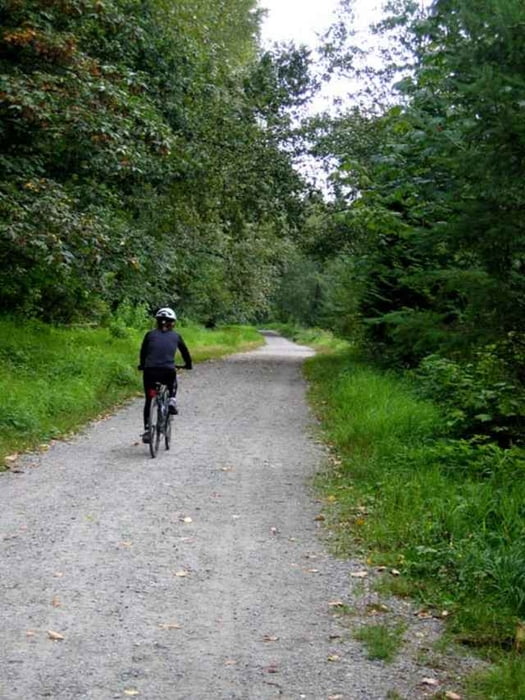
This is a touring bicycle ride through NE Vancouver, along Burrard Inlet in Burnaby (Trans-Canada Trail), to the Fraser River in New Westminster and back to downtown Vancouver along the Skytrain trail.
When we cycled this on Aug 19, 2007, my wife got tired in Burnaby, so we hopped onto the Skytrain at Royal Oak in Burnaby and rode the Skytrain to Main Street in downtown Vancouver. The Skytrain ride was 11 kms (thus accounting for the 47 km bike ride). The trail from Royal Oak to Main is mainly downhill, making this a very easy 11 kms.
Vancouver and Burnaby are very bicycle friendly, and our ride in these 2 cities was either on streets designated as cycling streets, or, in Burnaby, nearly all on trails, some hardpacked, some paved. New Westminster is not so nearly bicycle friendly and we found ourselves riding on ordinary streets, sharing the streets with the traffic. We eventually got onto the Skytrain trail at Kingsway and Edmonds in Burnaby.
One option in NW is to continue on Columbia or Front streets to Westminster Quay, and then onto the Skytrain trail all the way to downtown Vancouver. This however involves a long uphill from Stewardson Way in NW to Gilley St. in Burnaby.
Overall, a plesent cycle through areas of NE Vancouver, north Burnaby and NW that many of us never realized existed.
Fotogalerie van de tocht
Kaart en hoogteprofiel van de tocht
Minimumhoogte 1 m
Maximale hoogte 150 m
Commentaren

There are many points of access. I suggest Quebec
St, in front of Science World, in downtown Vancouver, then heading east through Chinatown on Union St towards Burnaby. Follow the GPS track for details of the route.
St, in front of Science World, in downtown Vancouver, then heading east through Chinatown on Union St towards Burnaby. Follow the GPS track for details of the route.
GPS-tracks
Trackpoints-
GPX / Garmin Map Source (gpx) download
-
TCX / Garmin Training Center® (tcx) download
-
CRS / Garmin Training Center® (crs) download
-
Google Earth (kml) download
-
G7ToWin (g7t) download
-
TTQV (trk) download
-
Overlay (ovl) download
-
Fugawi (txt) download
-
Kompass (DAV) Track (tk) download
-
Pagina van de tocht (pdf) download
-
Origineel dossier van de auteur (g7t) download
Toevoegen aan mijn favorieten
Uit mijn favorieten verwijderen
Tags bewerken
Open track
Mijn waardering
Tarief


