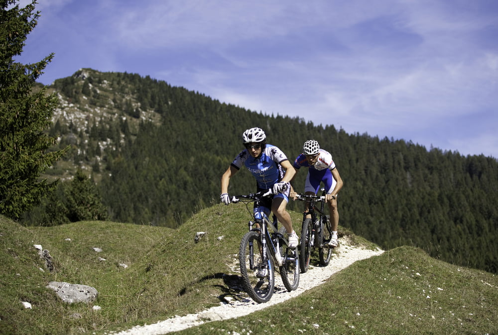
Partenza dal centro sportivo di Borgo Valgugana dove, dopo un tratto di ciclabile si sale per la Val Coalba, che porta su strada sterrata al Monte Civeron, posto ai piedi dell’Ortigara. Una volta raggiunto l’Altipiano si passa alla destra del cimitero austro-ungarico e si scende sempre su strada sterrata fino ad incrociare la strada asfaltata che porta alla frazione di Olle. Dopo l’abitato di Olle, prima di passare il ponte del torrente Moggio, si gira a destra lungo il tratto di ciclabile che riporta al punto di partenza.
Tour Monte Civerone
Es geht am Sportzentrum in Borgo Valsugana los, von hier aus fährt man, nach einem kurzen Stück auf dem Radweg, bergauf in Richtung Val Coalba und weiter auf einer Schotterstraße bis zum Berg Monte Civeron. Er liegt am Fuße der Bergkette Ortigara. Einmal auf der Hochebene angekommen, geht es rechts vorbei am österreichisch-ungarischen Friedhof und dann bergab auf einer Schotterstraße bis man auf eine asphaltierte Straße stößt, die zum Ortsteil Olle führt. Vor der Brücke, über den Bach Moggio, biegt man rechts ab und fährt ein Stück auf dem Radweg, der zum Ausgangspunkt zurückführt.
Monte Civerone Tour
The starting point is the sport center in Borgo Valsugana, where after a part of cycling path you will ride up Val Coalba, that leads us on unpaved road to Monte Civeron, at the foot of Mount Ortigara . Once you have reached the Plateau pass on the right side of the Austro Hungarian cemetery, ride down on the unpaved road until you cross the asphalt road that leads to the hamlet Olle. Once you pass Olle, before crossing the bridge of Moggio stream, turn right along the cycling path that will lead you back to the starting point.
Kaart en hoogteprofiel van de tocht
Commentaren

GPS-tracks
Trackpoints-
GPX / Garmin Map Source (gpx) download
-
TCX / Garmin Training Center® (tcx) download
-
CRS / Garmin Training Center® (crs) download
-
Google Earth (kml) download
-
G7ToWin (g7t) download
-
TTQV (trk) download
-
Overlay (ovl) download
-
Fugawi (txt) download
-
Kompass (DAV) Track (tk) download
-
Pagina van de tocht (pdf) download
-
Origineel dossier van de auteur (gpx) download


