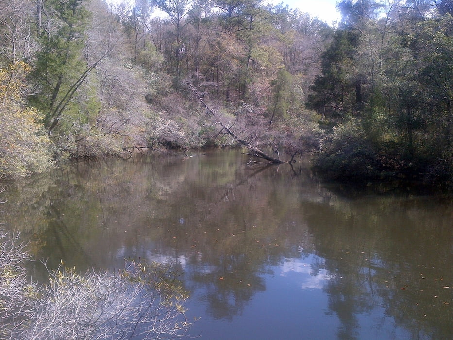
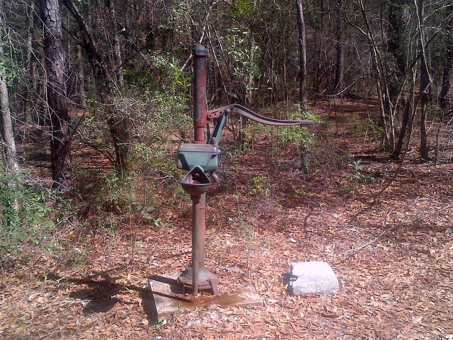
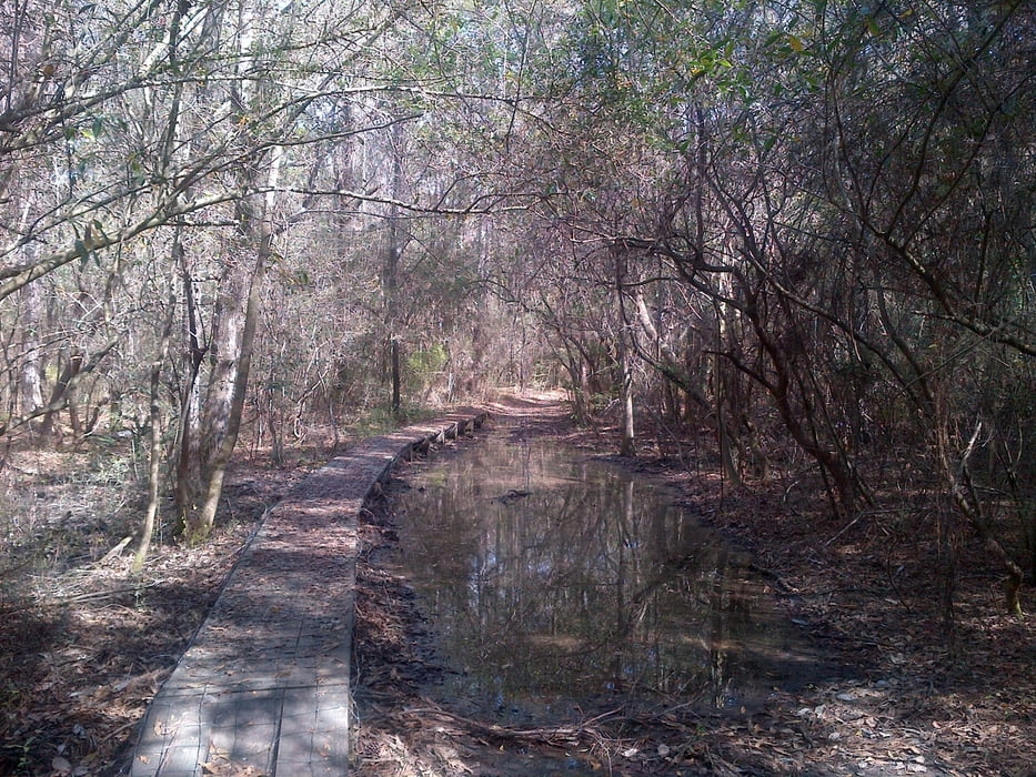
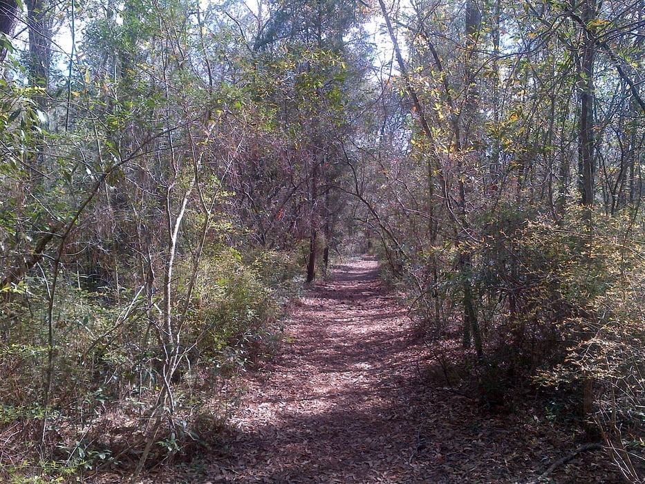
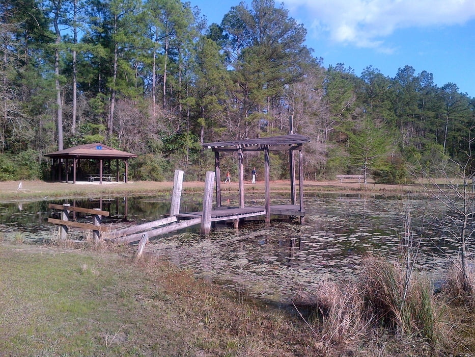
Easy walk through the swampy Chickasabogue Park on the well marked bike/hicking trails (Indian Loop, Beach Loop and Cemetery Loop).
Most of the trails can also be used by mountain bike.
Fotogalerie van de tocht
Kaart en hoogteprofiel van de tocht
Minimumhoogte -5 m
Maximale hoogte 46 m
Commentaren

The Park Entrance is located west of I-65
On 213 turn into Whistler Street and after 3/4 miles into the Aldock Road to the gate. The trail starts at the sports field.
GPS-tracks
Trackpoints-
GPX / Garmin Map Source (gpx) download
-
TCX / Garmin Training Center® (tcx) download
-
CRS / Garmin Training Center® (crs) download
-
Google Earth (kml) download
-
G7ToWin (g7t) download
-
TTQV (trk) download
-
Overlay (ovl) download
-
Fugawi (txt) download
-
Kompass (DAV) Track (tk) download
-
Pagina van de tocht (pdf) download
-
Origineel dossier van de auteur (gpx) download
Toevoegen aan mijn favorieten
Uit mijn favorieten verwijderen
Tags bewerken
Open track
Mijn waardering
Tarief

