


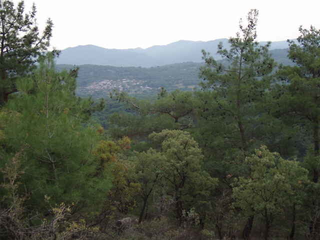
The Kozak Mountains are located between Ayvalik and Bergama; starting point is at a spring (monument) located close to a riverbed. The hike is easily accessed by car (paved road, but look out for the pot-holes near the trail head). For the first half this easy hike follows the river and then climbs a small mountain. The little extra trip to the top is optional, but worth it for the views from the "Rock". The near-by Kozak Cafe in "Demircidere" offers excellent Boerek and Chay and has great views of the vineyards and mountains. More ambitious hikers combine this hike with "Kozak Mountains Walk 04".
Fotogalerie van de tocht
Kaart en hoogteprofiel van de tocht
Minimumhoogte 214 m
Maximale hoogte 389 m
Meer over de tour auteur

|
fgoettsche |
Commentaren

From Ayvalik, take the mountain road via "Yeniköy" in direction Kozak and turn off just before the little village of Demircidere. Alternatively, you can take the same road but in opposite direction from Bergama.
GPS-tracks
Trackpoints-
GPX / Garmin Map Source (gpx) download
-
TCX / Garmin Training Center® (tcx) download
-
CRS / Garmin Training Center® (crs) download
-
Google Earth (kml) download
-
G7ToWin (g7t) download
-
TTQV (trk) download
-
Overlay (ovl) download
-
Fugawi (txt) download
-
Kompass (DAV) Track (tk) download
-
Pagina van de tocht (pdf) download
-
Origineel dossier van de auteur (g7t) download
Meer over de tour auteur
|
|
fgoettsche |
Toevoegen aan mijn favorieten
Uit mijn favorieten verwijderen
Tags bewerken
Open track
Mijn waardering
Tarief