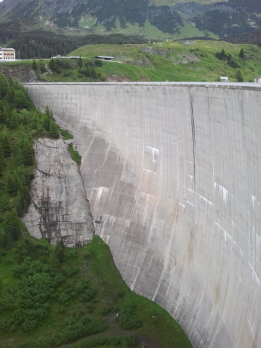
From Galtür first on asphalt and gravel into direction of Alpkogel. From there steep down below a ski lift to the Kops reservoir. Along the shore to the dam, and from there towards the Verbella Alpe and Heilbronner Hütte on gravel paths. Last 200 m to the hut are steep. From the hut down to Galtür on the same gravel paths and on asphalt roads.
Fotogalerie van de tocht
Kaart en hoogteprofiel van de tocht
Minimumhoogte 1576 m
Maximale hoogte 2309 m
Commentaren

GPS-tracks
Trackpoints-
GPX / Garmin Map Source (gpx) download
-
TCX / Garmin Training Center® (tcx) download
-
CRS / Garmin Training Center® (crs) download
-
Google Earth (kml) download
-
G7ToWin (g7t) download
-
TTQV (trk) download
-
Overlay (ovl) download
-
Fugawi (txt) download
-
Kompass (DAV) Track (tk) download
-
Pagina van de tocht (pdf) download
-
Origineel dossier van de auteur (gpx) download
Toevoegen aan mijn favorieten
Uit mijn favorieten verwijderen
Tags bewerken
Open track
Mijn waardering
Tarief


