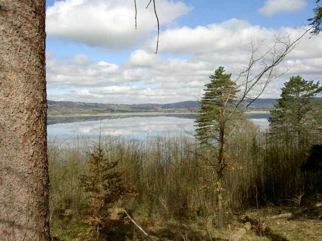
Starts at Dorst parking lot. Cross little creek or trench to get to dirt road on other side. Follow and enter nice trail on right side after few meters most of it rideable. Trail leads to tarred road heading to hydro electric plant. Dirt road behind plant raises up into Langental (partly steep uphills). Reiterweg leads down to Kesselbergpass. Couple of serpentines down to Walchensee. Tarred road along edge of lake later in direction to Jachenau. Turn right between farmer houses. After ~1.5km enter trail on right side. Again mostly rideable ending at dirt road. Partly steep uphill to Staffelalm. Carry bike down Hiking trail to Kochler Alm (end rideable). Downhill on dirt road back to parking lot.
Fotogalerie van de tocht
Kaart en hoogteprofiel van de tocht
Minimumhoogte 602 m
Maximale hoogte 1321 m
Commentaren
With the car to Kochel am See. Parking lot at the end of the village towards Walchensee and Kraftwerk right beside factory named Dorst.
Alternatively Kochel am See can also be reached with train.
Alternatively Kochel am See can also be reached with train.
GPS-tracks
Trackpoints-
GPX / Garmin Map Source (gpx) download
-
TCX / Garmin Training Center® (tcx) download
-
CRS / Garmin Training Center® (crs) download
-
Google Earth (kml) download
-
G7ToWin (g7t) download
-
TTQV (trk) download
-
Overlay (ovl) download
-
Fugawi (txt) download
-
Kompass (DAV) Track (tk) download
-
Pagina van de tocht (pdf) download
-
Origineel dossier van de auteur (g7t) download
Toevoegen aan mijn favorieten
Uit mijn favorieten verwijderen
Tags bewerken
Open track
Mijn waardering
Tarief


Tour 1263: »Jochbergrunde2«
Tour 1263: »Jochbergrunde2«
Tour 1263: »Jochbergrunde2«
Tour 1263: »Jochbergrunde2«