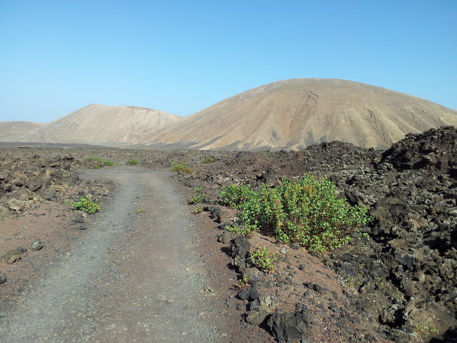
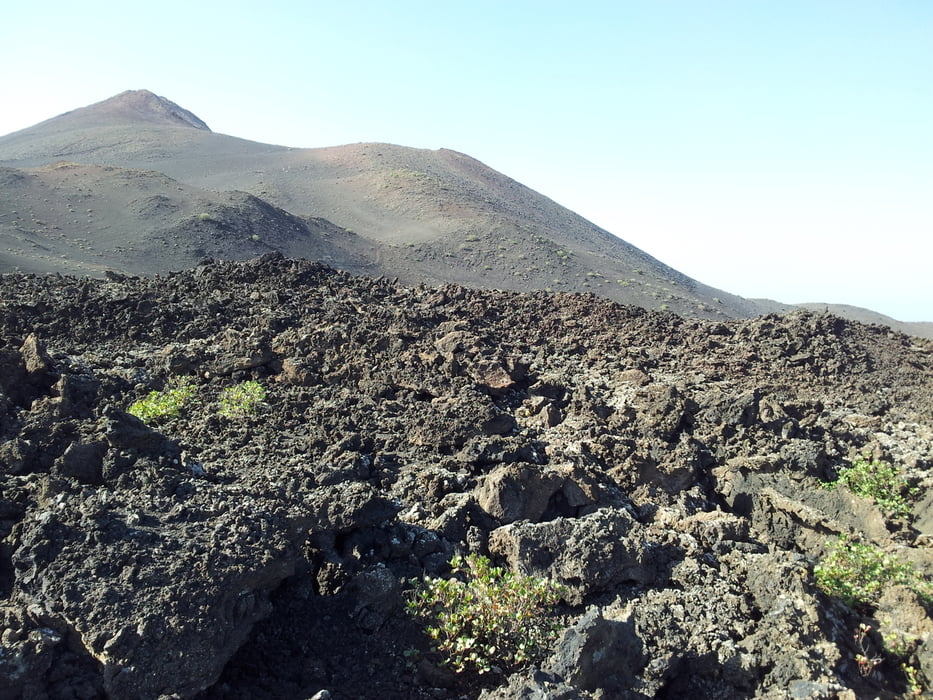
Nice tour in the lava fields north of the Timanfaya National Park -
Park the car at the Timanfaya vistor center and then take the street to the south. Make sure that you do the tour clockwise, because otherwise you have go uphill a rough trail instead of biking it down.
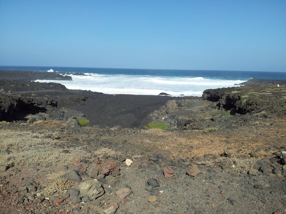
After approx 3,5km take the hiking trail to your right - bilke around Caldera Blanca - visit Playa Madera and then return via Mancha Blanca village back to the vistor center.
Fotogalerie van de tocht
Kaart en hoogteprofiel van de tocht
Minimumhoogte 16 m
Maximale hoogte 318 m
Commentaren

Park the car at the Timanfaya vistor center
GPS-tracks
Trackpoints-
GPX / Garmin Map Source (gpx) download
-
TCX / Garmin Training Center® (tcx) download
-
CRS / Garmin Training Center® (crs) download
-
Google Earth (kml) download
-
G7ToWin (g7t) download
-
TTQV (trk) download
-
Overlay (ovl) download
-
Fugawi (txt) download
-
Kompass (DAV) Track (tk) download
-
Pagina van de tocht (pdf) download
-
Origineel dossier van de auteur (gpx) download
Toevoegen aan mijn favorieten
Uit mijn favorieten verwijderen
Tags bewerken
Open track
Mijn waardering
Tarief


