

MMT 100 MILE is an ultra trail race of 158 km (100 miles) with a 7.704 d+ elevation which goes through some of the most beautiful landscapes of northeastern Italy (Friuli region).
There will be stones, grassy trails, rocks, up and down hills, ancient burgs, villages and much more.
Please study the roadbook and the rules carefully!
Verdere informatie onder
http://www.mmt100mile.comFotogalerie van de tocht


Kaart en hoogteprofiel van de tocht
Minimumhoogte 130 m
Maximale hoogte 1487 m
Meer over de tour auteur

|
magredi |
Commentaren

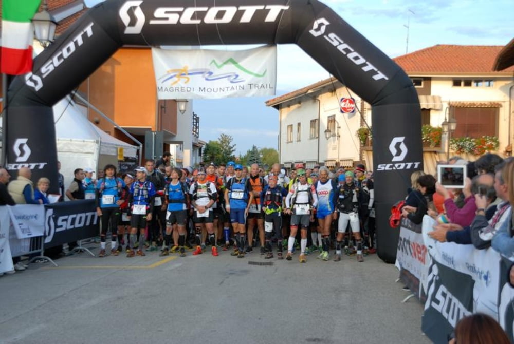
Started MMT 100 MILE Piazza Umberto I a Vivaro (PN). GPS: 46.07789N,12.775553E
BY CAR
Highway A4 exit Portogruaro (VE).
Follow highway A28 (no payment required) until Cimpello exit, direction Sequals.
4th exit (Vivaro).
At the cross turn left and go straight for 4 km until yopu reach Vivaro village and the main square.
BY TRAIN/BUS
Scendere alla stazione di Pordenone.
Arrive at Pordenone station and you will find the bus station.
Take a bus for Vivaro - Basaldella (timetable at http://www.atap.pn.it/index.aspx)
BY PLANE
Marco Polo Venice Airport
From here there are shuttles and buses for Pordenone (timetable at http://www.atap.pn.it/index.aspx).
GPS-tracks
Trackpoints-
GPX / Garmin Map Source (gpx) download
-
TCX / Garmin Training Center® (tcx) download
-
CRS / Garmin Training Center® (crs) download
-
Google Earth (kml) download
-
G7ToWin (g7t) download
-
TTQV (trk) download
-
Overlay (ovl) download
-
Fugawi (txt) download
-
Kompass (DAV) Track (tk) download
-
Pagina van de tocht (pdf) download
-
Origineel dossier van de auteur (gpx) download
Meer over de tour auteur
|
|
magredi |
Toevoegen aan mijn favorieten
Uit mijn favorieten verwijderen
Tags bewerken
Open track
Mijn waardering
Tarief