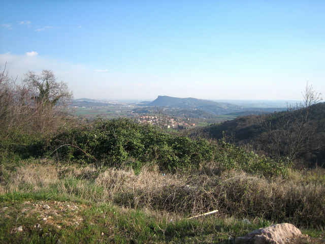
Excellent tour on small streets with breathtaking views in a wonderful landscape on the foot of the Monte Baldo.
Fotogalerie van de tocht
Kaart en hoogteprofiel van de tocht
Minimumhoogte 65 m
Maximale hoogte 736 m
Commentaren
Any city or village on the east shore of the lake like Bardolino, Garda, Torri del Benaco or some cities in the backcountry like Calmasino, Cavaion or Caprino Veronese.
GPS-tracks
Trackpoints-
GPX / Garmin Map Source (gpx) download
-
TCX / Garmin Training Center® (tcx) download
-
CRS / Garmin Training Center® (crs) download
-
Google Earth (kml) download
-
G7ToWin (g7t) download
-
TTQV (trk) download
-
Overlay (ovl) download
-
Fugawi (txt) download
-
Kompass (DAV) Track (tk) download
-
Pagina van de tocht (pdf) download
-
Origineel dossier van de auteur (gpx) download
Toevoegen aan mijn favorieten
Uit mijn favorieten verwijderen
Tags bewerken
Open track
Mijn waardering
Tarief


Bardolino Classico
Allerdings die Strecke direkt am Gardasee ist nicht zu empfehlen, da dort ein starker Fahrzeugverkehr herrscht und die Italiener teilweise willenlos fahren.
Ansonsten eine klasse Tour!