In the sommer and spring this track is a must. Nice nature and little bit of an Amsterdam feeling.
Story to read: https://brownbrothersblog.wordpress.com/
Fotogalerie van de tocht
Kaart en hoogteprofiel van de tocht
Minimumhoogte -6 m
Maximale hoogte 31 m
Commentaren

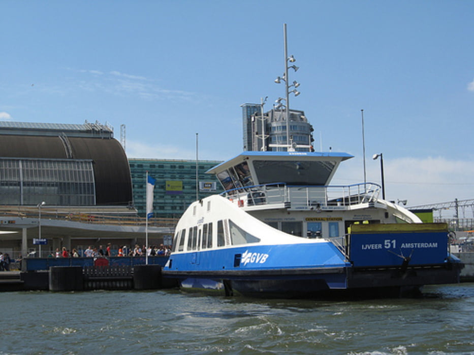
If you start in Amsterdam noth. You bike almost 7km and you have to take the free ferry to amsterdam central. This ferry goes every 10min back and forth. After this you follow the GPS route.
Watch out for cars and pepole in Amsterdam.
GPS-tracks
Trackpoints-
GPX / Garmin Map Source (gpx) download
-
TCX / Garmin Training Center® (tcx) download
-
CRS / Garmin Training Center® (crs) download
-
Google Earth (kml) download
-
G7ToWin (g7t) download
-
TTQV (trk) download
-
Overlay (ovl) download
-
Fugawi (txt) download
-
Kompass (DAV) Track (tk) download
-
Pagina van de tocht (pdf) download
-
Origineel dossier van de auteur (tcx) download
Toevoegen aan mijn favorieten
Uit mijn favorieten verwijderen
Tags bewerken
Open track
Mijn waardering
Tarief


