


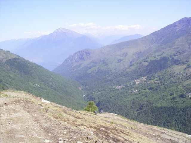
Tour from the lake of Como up to the Refugio San Jorio 2010m at the border of Switzerland. The way down is a long and heavy to drive old military street.
From the Refugio San Jorio 2010m (50m higher left) a single trail /sentiero starts to the Refugio San Giovo 1710m.
Alternative way down could be:
- the way back on the way up (good way)
- as before, at 1450m left to refugio Mottafoiada
- ride to Roveredo (Logo Magiore).
At the tourist office (i.g. head quater Domaso) you can buy the excellent map "Alto Lario" 1:35.000 (or ISBN 88-900896-2-8 6,20Euro).
You can also get
- the free mountain bike tour guide Alto Lario
- the free mountain bike tour guide of the region Como.
Domaso is good place for windsurfing, kiters you find at Gera Lario, Gera Lario is also a place for paragliding.
Verdere informatie onder
http://www.casarina.comFotogalerie van de tocht
Kaart en hoogteprofiel van de tocht
Minimumhoogte 223 m
Maximale hoogte 2041 m
Meer over de tour auteur
|
|
skyhopper |
Commentaren

From Chur coming go direction San Bernardino, at Splügen go right to passo de Splügen and from there to the lago di Como (Lario). Here right direction to Lugano (not Lecco).
GPS-tracks
Trackpoints-
GPX / Garmin Map Source (gpx) download
-
TCX / Garmin Training Center® (tcx) download
-
CRS / Garmin Training Center® (crs) download
-
Google Earth (kml) download
-
G7ToWin (g7t) download
-
TTQV (trk) download
-
Overlay (ovl) download
-
Fugawi (txt) download
-
Kompass (DAV) Track (tk) download
-
Pagina van de tocht (pdf) download
-
Origineel dossier van de auteur (gpx) download
Meer over de tour auteur
|
|
skyhopper |
Toevoegen aan mijn favorieten
Uit mijn favorieten verwijderen
Tags bewerken
Open track
Mijn waardering
Tarief