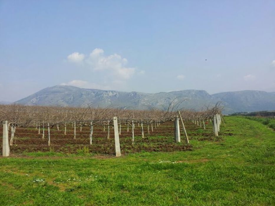
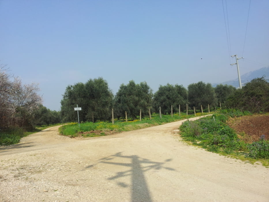
Stupendo giro nelle campagne dell'agro pontino. Percorso di media intensità.90% sterrato, con presenza di bar al km 14. Raggiungibile in treno.
Fotogalerie van de tocht
Kaart en hoogteprofiel van de tocht
Minimumhoogte 44 m
Maximale hoogte 385 m
Commentaren

Raggiungibile in treno, si scende a Labico, si sale a Latina
GPS-tracks
Trackpoints-
GPX / Garmin Map Source (gpx) download
-
TCX / Garmin Training Center® (tcx) download
-
CRS / Garmin Training Center® (crs) download
-
Google Earth (kml) download
-
G7ToWin (g7t) download
-
TTQV (trk) download
-
Overlay (ovl) download
-
Fugawi (txt) download
-
Kompass (DAV) Track (tk) download
-
Pagina van de tocht (pdf) download
-
Origineel dossier van de auteur (gpx) download
Toevoegen aan mijn favorieten
Uit mijn favorieten verwijderen
Tags bewerken
Open track
Mijn waardering
Tarief


