Inloggen

Login vergeten?

Cookies moeten worden aanvaard!
De cookiefunctie van uw browser is gedeactiveerd. Activeer de functie.

Ben je nog geen lid?

Registreer nu
Inloggen

Alleen mogelijk voor ingelogde gebruikers

Log in om deze functie te kunnen gebruiken.

Login vergeten?

Cookies moeten worden aanvaard!
De cookiefunctie van uw browser is gedeactiveerd. Activeer de functie.

Ben je nog geen lid?

Registreer nu
Filter
Categorieën
Geavanceerde filters
  • Lengte (km)
  • Hoogtemeter
Filter opslaan Filter resetten

TrackRank

QRCode

Technische gegevens

Lengte26,4 km Hoogtemeter394 m Afdaling399 m Duur00:00 h:m Datum07.09.2016
Beoordelingen Auteur Landschap Funfactor Conditie Techniek

Statistiek

560 Views Beoordelingen 132 Downloads Gemiddelde
Tarief
  • Pagina van de tocht
  • Route
  • Downloads

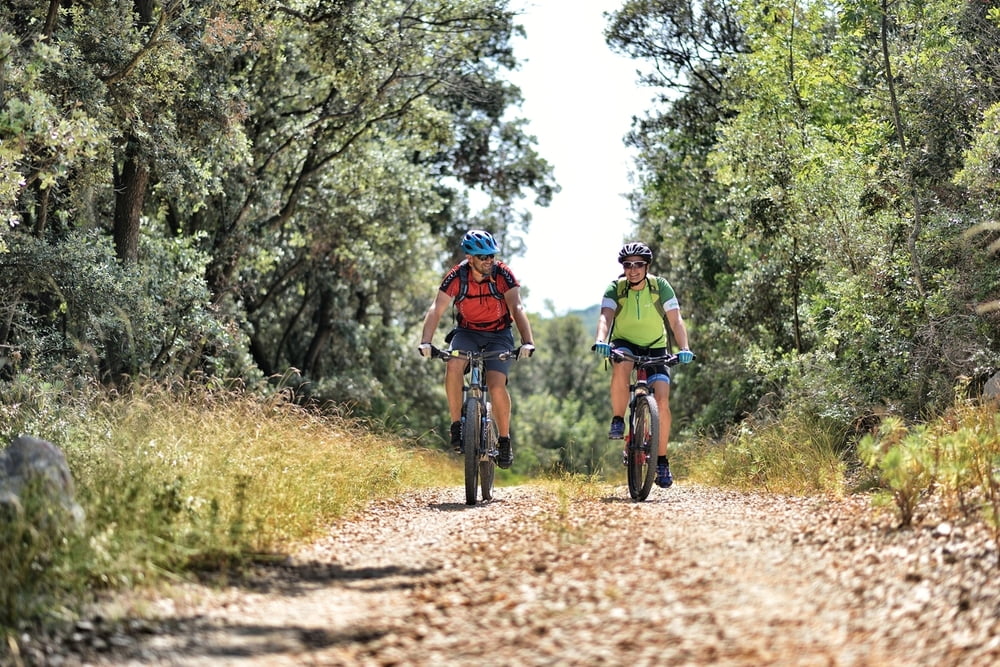
This trail includes the famous peninsula and natural oasis Kalifront. Throughout the ride you will enjoy the shade provided by forest, the sea views and in the possibility of encountering some of local wildlife animals.
Macadam roads prevail here, but there is also a short stone single-trail that beginner riders can walk across. Riding on this trail can provide recreation and escape to the nature, and for more experienced riders it is an excellent basis for a rapid training.


Staza obuhvaća poznati poluotok i prirodnu oazu Kalifront.
U vožnji ćete uživati u hladu kojeg pruža šuma, u pogledima na more i mogućnosti susreta s lokalnom divljači.
Na stazi prevladava makadam, ali postoji i kratki kameni singletrail kojeg vozači početnici mogu prehodati. Vožnja može poslužiti za rekreaciju i bijeg u prirodu, a iskusnijem vozaču i kao podloga za brzi trening.


Fotogalerie van de tocht

Kaart en hoogteprofiel van de tocht

  • Open Street Map
  • Google
Minimumhoogte 3 m Maximale hoogte 90 m Detailweergave

Meer over de tour auteur

AdriaBikeHotels
Lid sinds 2014

Stuur een privébericht

Commentaren

GPS-tracks

Trackpoints
  • GPX / Garmin Map Source (gpx) download
  • TCX / Garmin Training Center® (tcx) download
  • CRS / Garmin Training Center® (crs) download
  • Google Earth (kml) download
  • G7ToWin (g7t) download
  • TTQV (trk) download
  • Overlay (ovl) download
  • Fugawi (txt) download
  • Kompass (DAV) Track (tk) download
  • Pagina van de tocht (pdf) download
  • Origineel dossier van de auteur (gpx) download

Meer over de tour auteur

AdriaBikeHotels
Lid sinds 2014

Stuur een privébericht
Share track
Toevoegen aan mijn favorieten
Uit mijn favorieten verwijderen
Tags bewerken
Mijn waardering
Tarief
Tocht: MTB RAB 1
Type: Bergtocht
Lengte: 26,4 km
Evaluated on:
Duur:
Dagen
Uurtjes
Minuten
Beoordeling: Landschap Funfactor Conditie Techniek