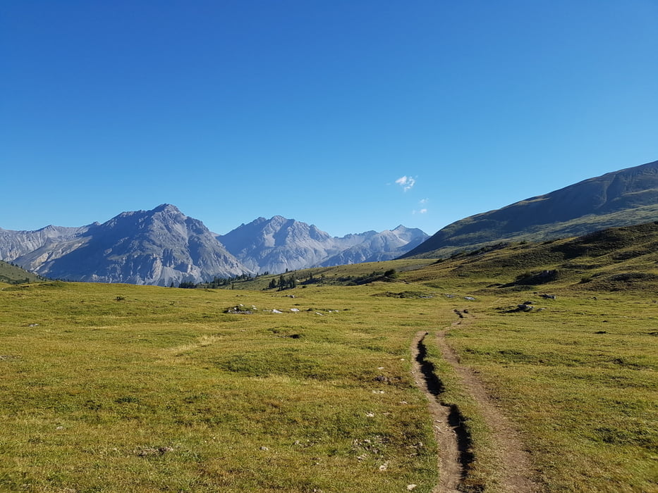
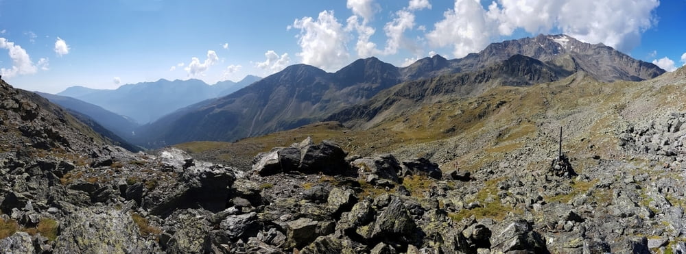
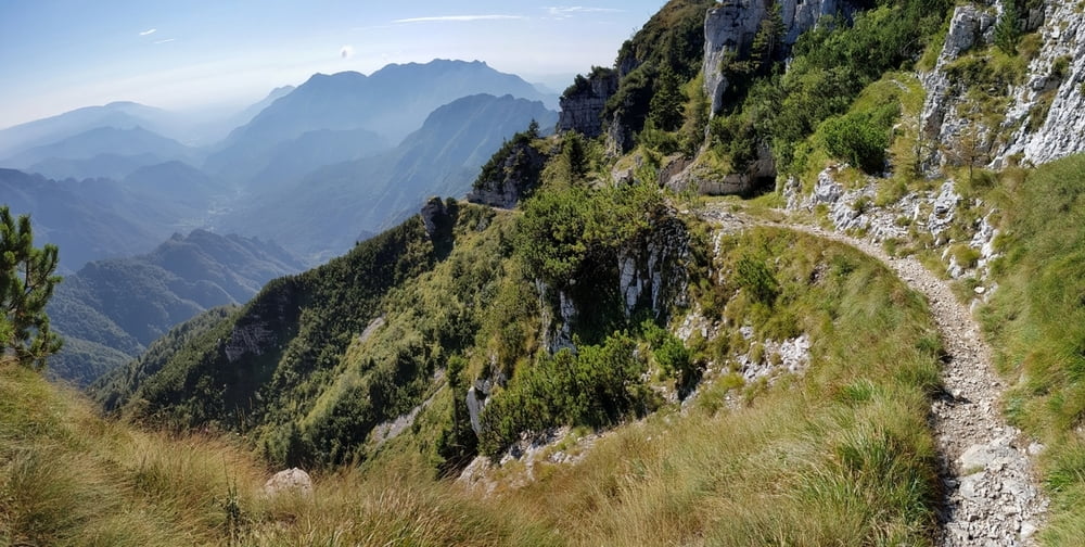
Bayrischzell - Bayrischzell und
Oberstdorf - Riva del Garda
13 Tage, 37.000 hm, 1386 km
Download GPX-Datei (speichern mit "speichern unter", 2MB)
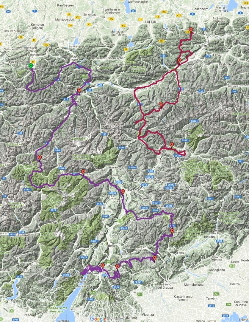
1. Tag: Bayrischzell - Hintertux
123 km, 2.660 hm, 7:41 h
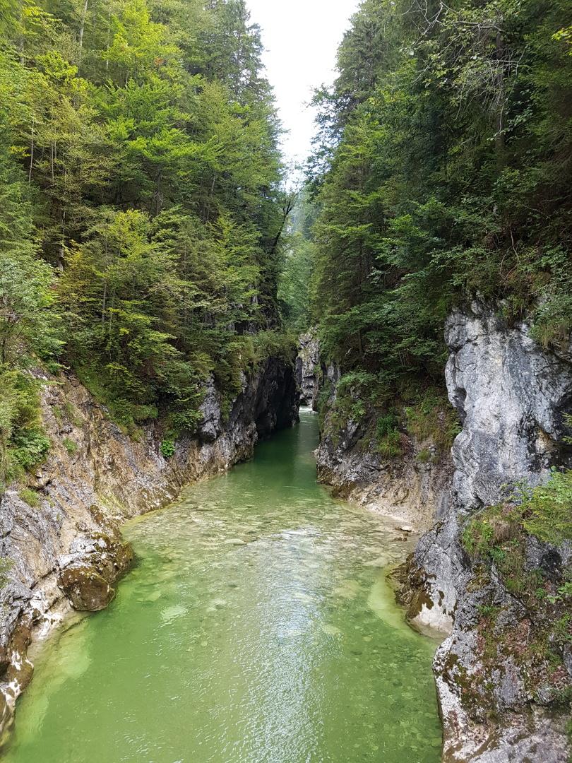
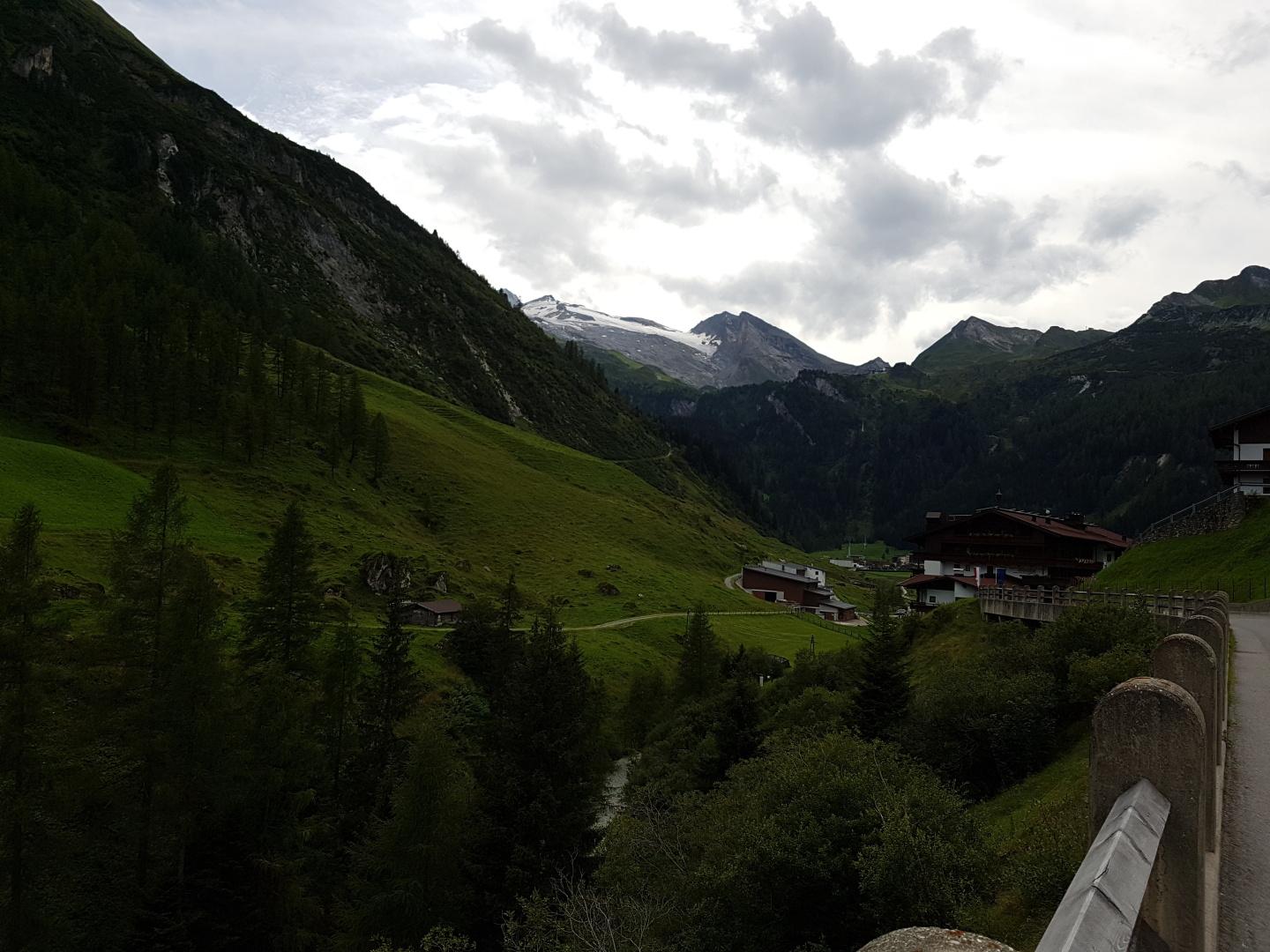
2. Tag: Hintertux - St. Sigmund
123 km, 3.803 hm, 10:37 h
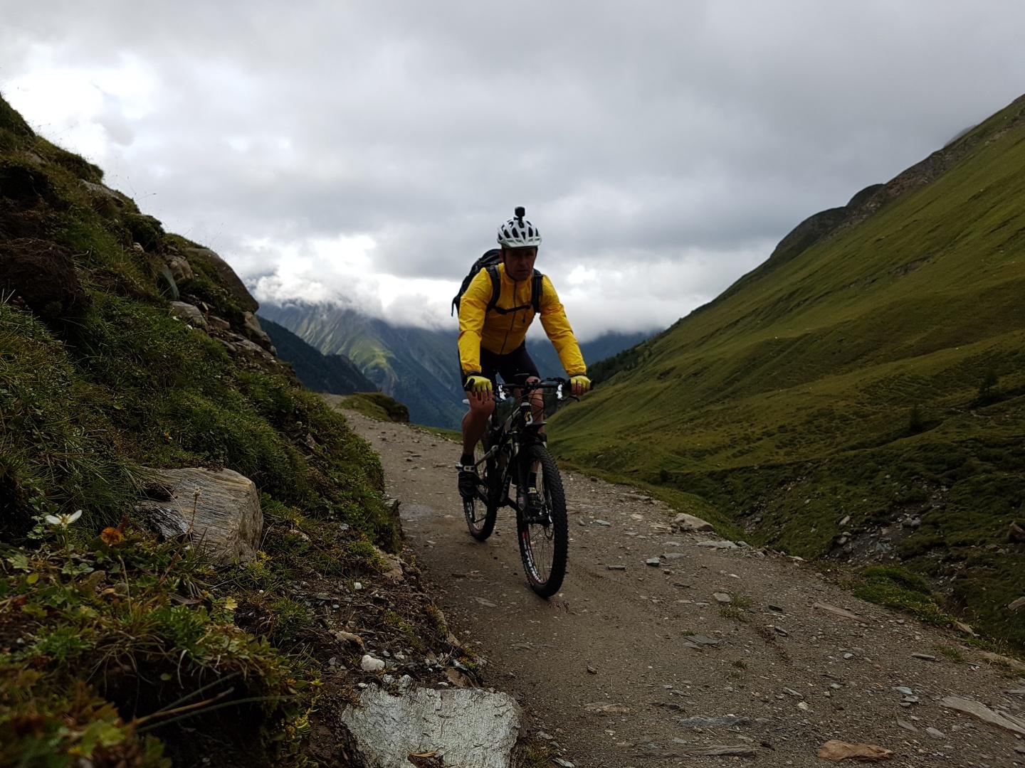
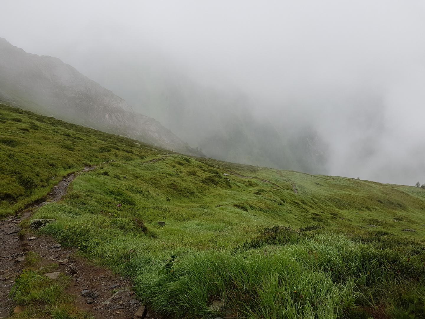
3. Tag: St. Sigmund - Kramsbach
191 km, 2.735 hm, 10:37 h
4. Tag: Kramsbach- Bayrischzell
56 km, 1.760 hm, 4:00 h
5. Tag: Oberstdorf - Karres
147 km, 3.011 hm, 9:42 h
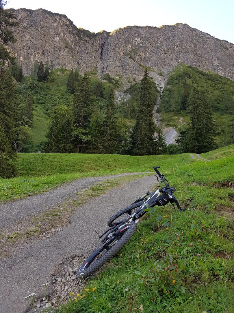
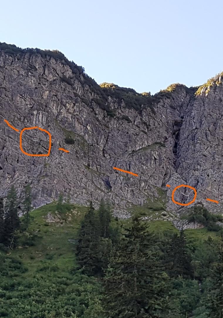
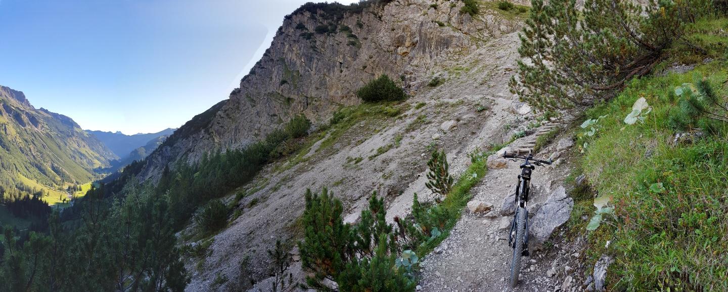
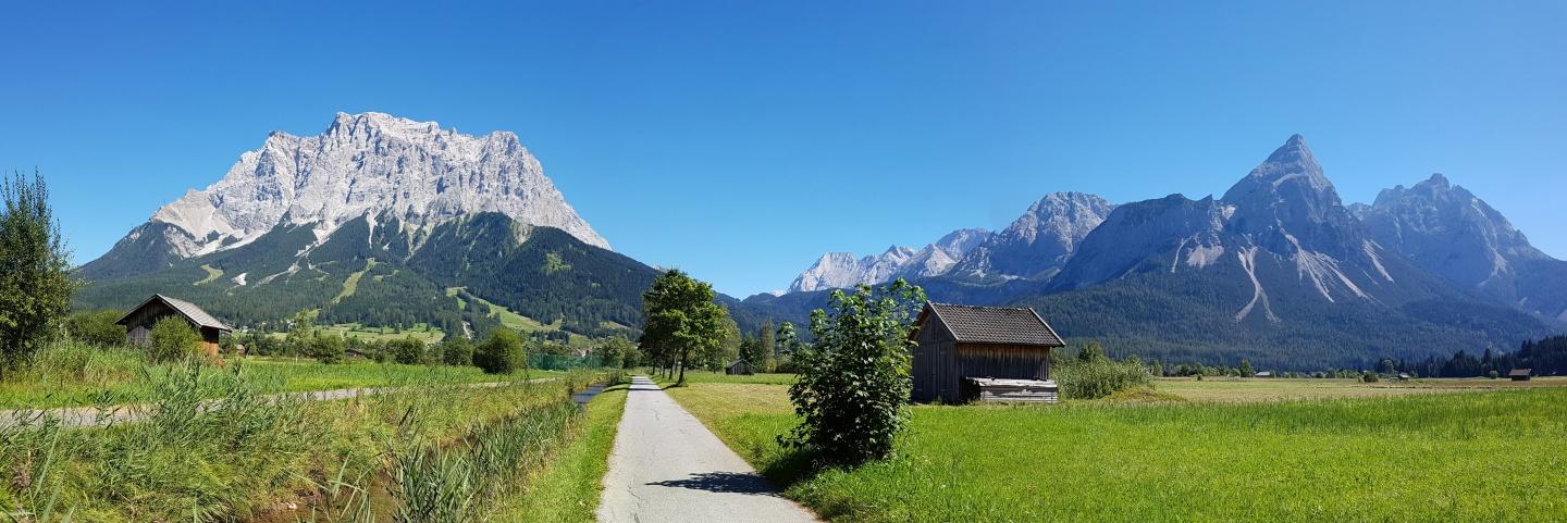
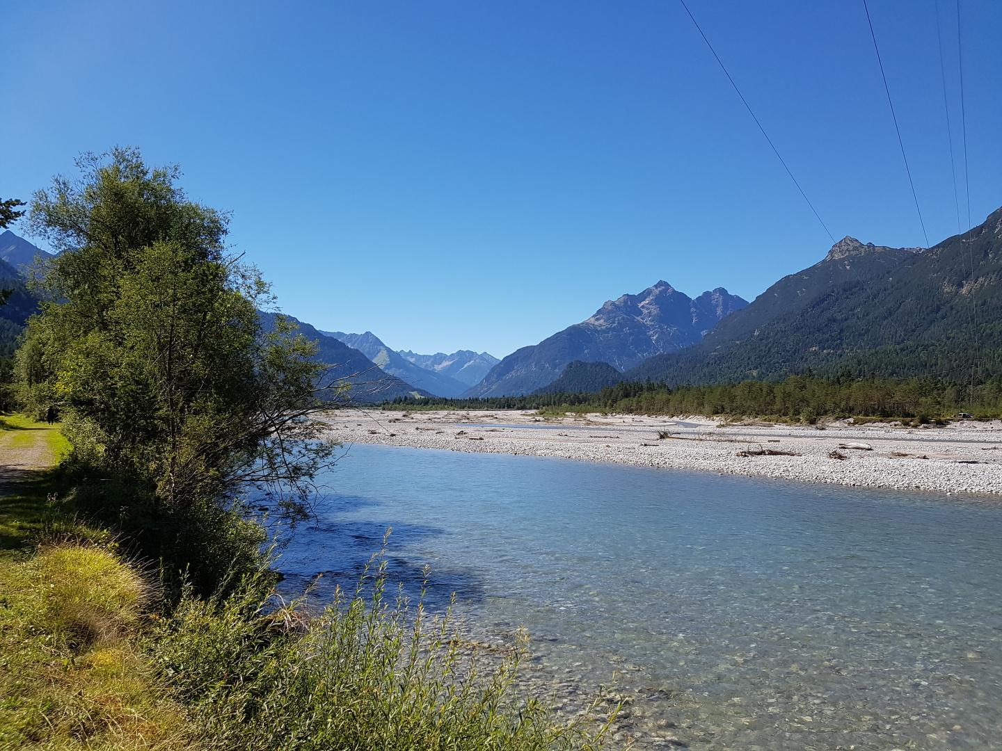

6. Tag: Karres - S-Charl
118 km, 3.763 hm, 8:45 h
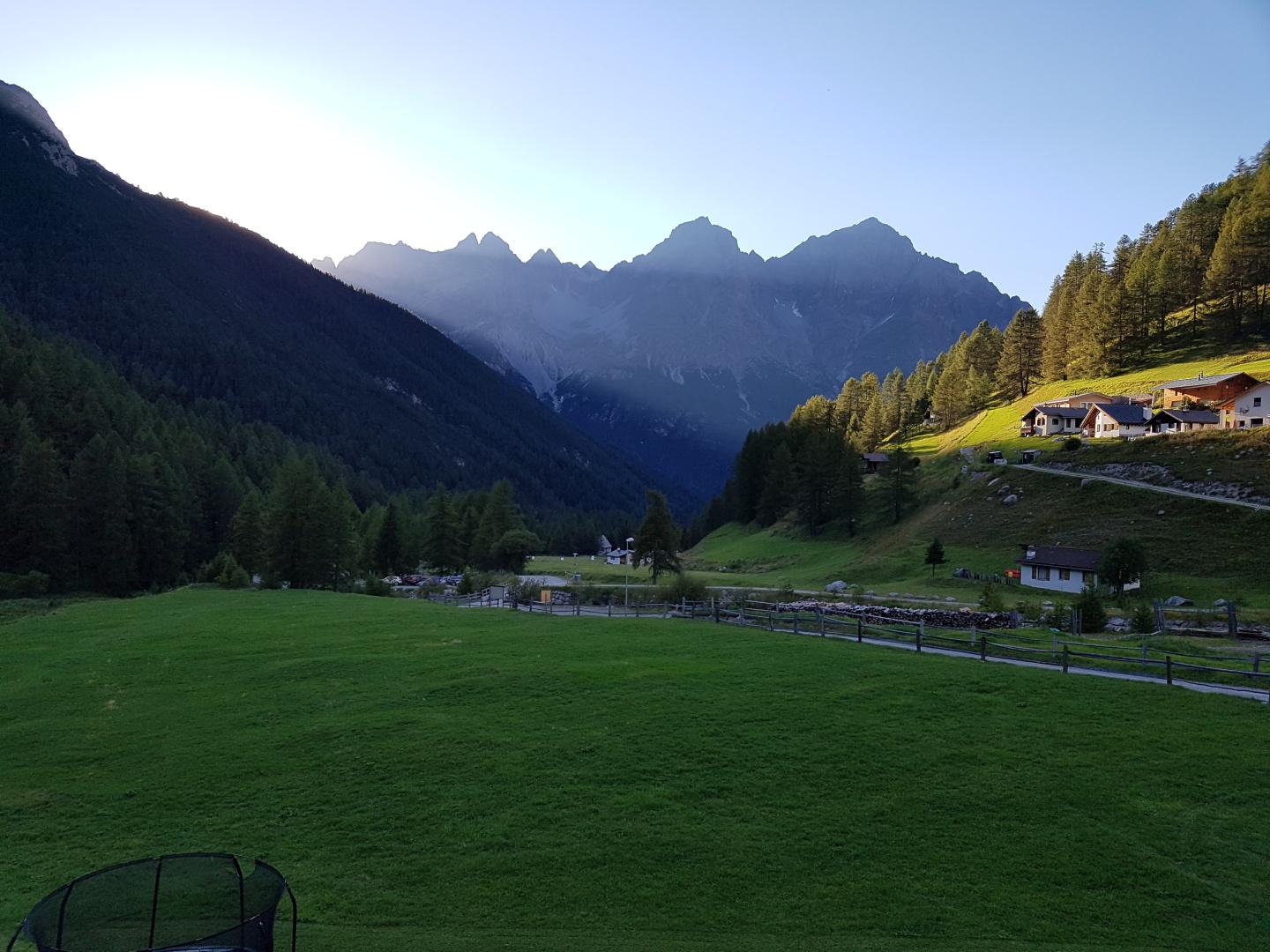
7. Tag: S-Charl - Morter
114 km, 2.866 hm, 8:59 h
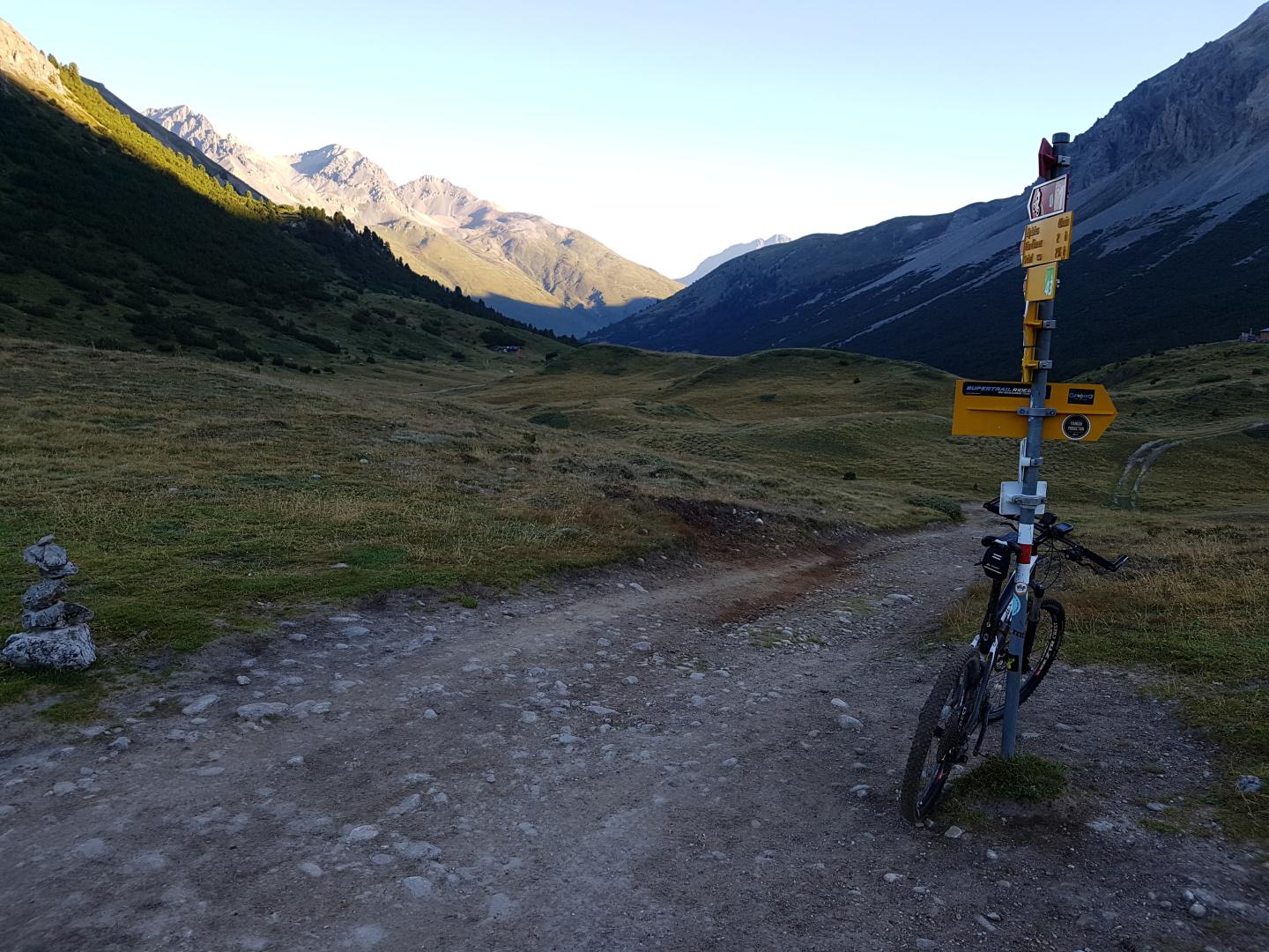
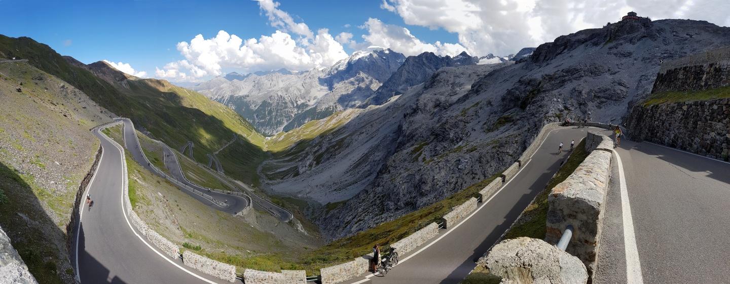
8. Tag: Morter - St. Michael
82 km, 3.761 hm, 8:35 h
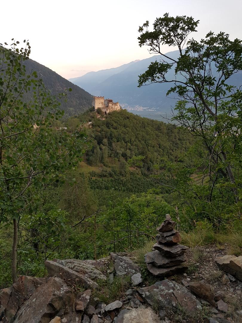
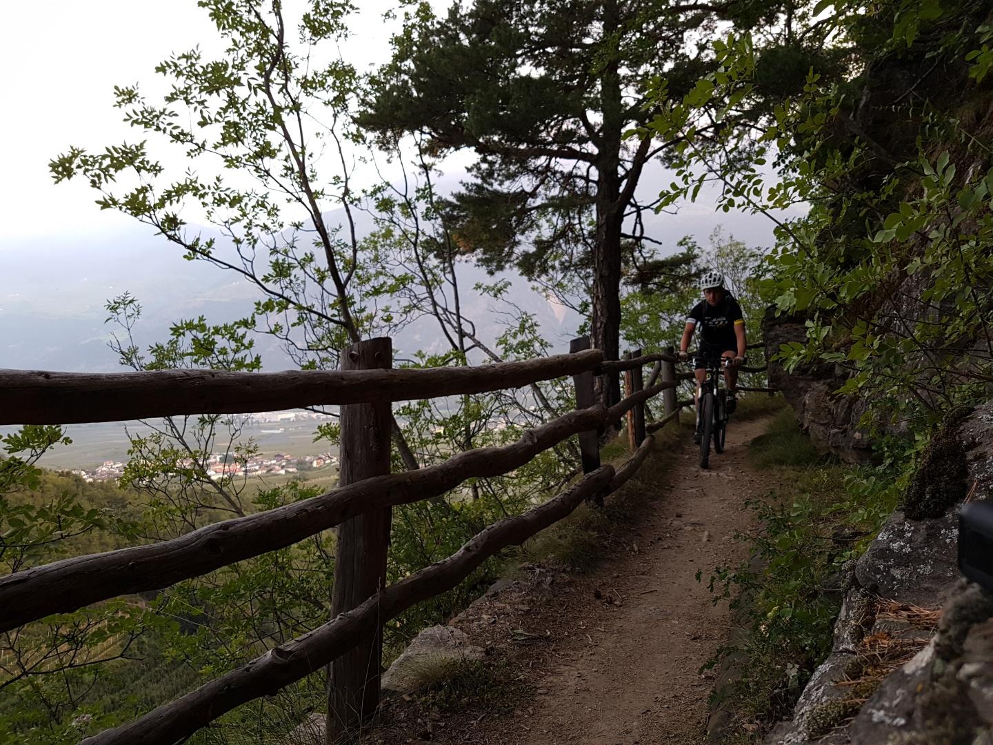
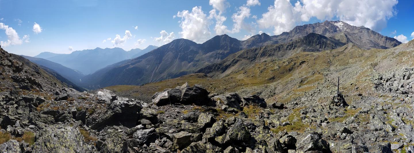
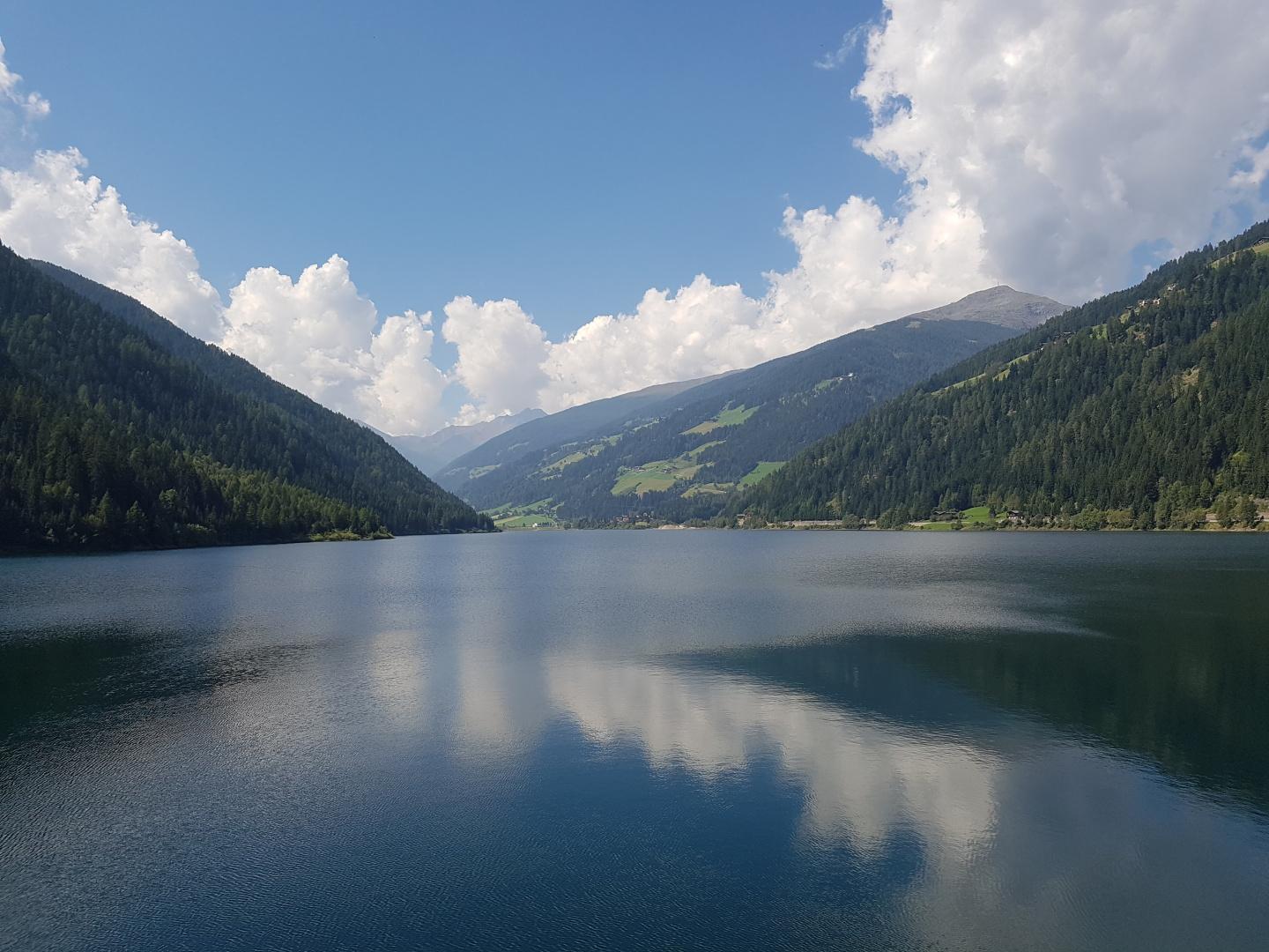
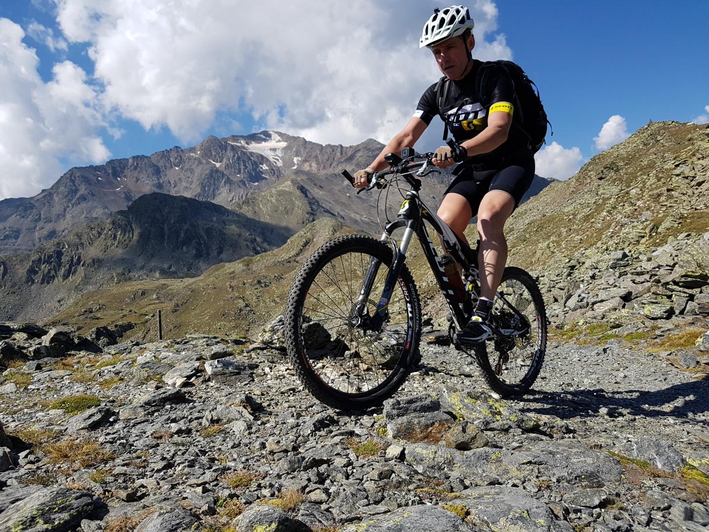
9. Tag: St. Michael - Mezzano
119 km, 3.295 hm, 9:03 h


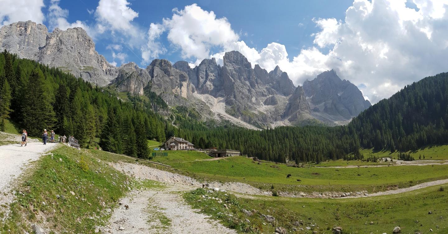
10. Tag: Mezzano - Ref. Marcesina
101 km, 2.968 hm, 7:45 h
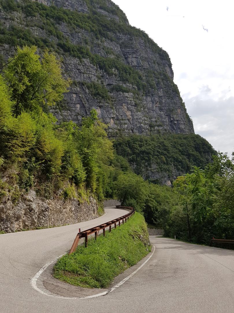
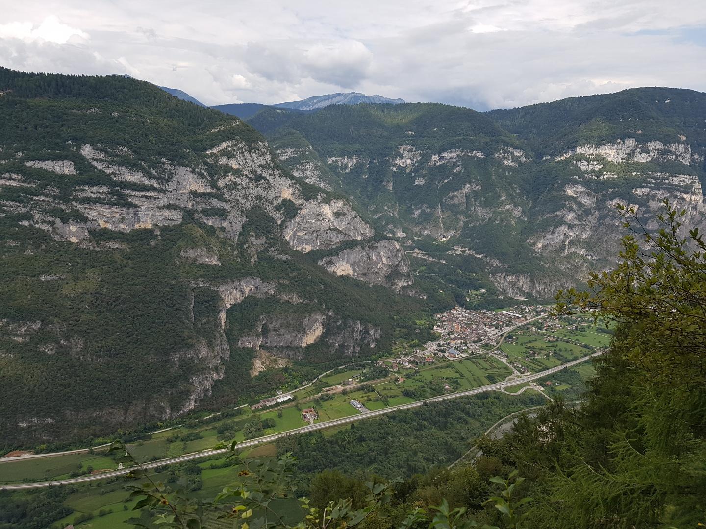
11. Tag: Ref. Marcesina - Fonda Piccola
89 km, 2.682 hm, 8:29 h
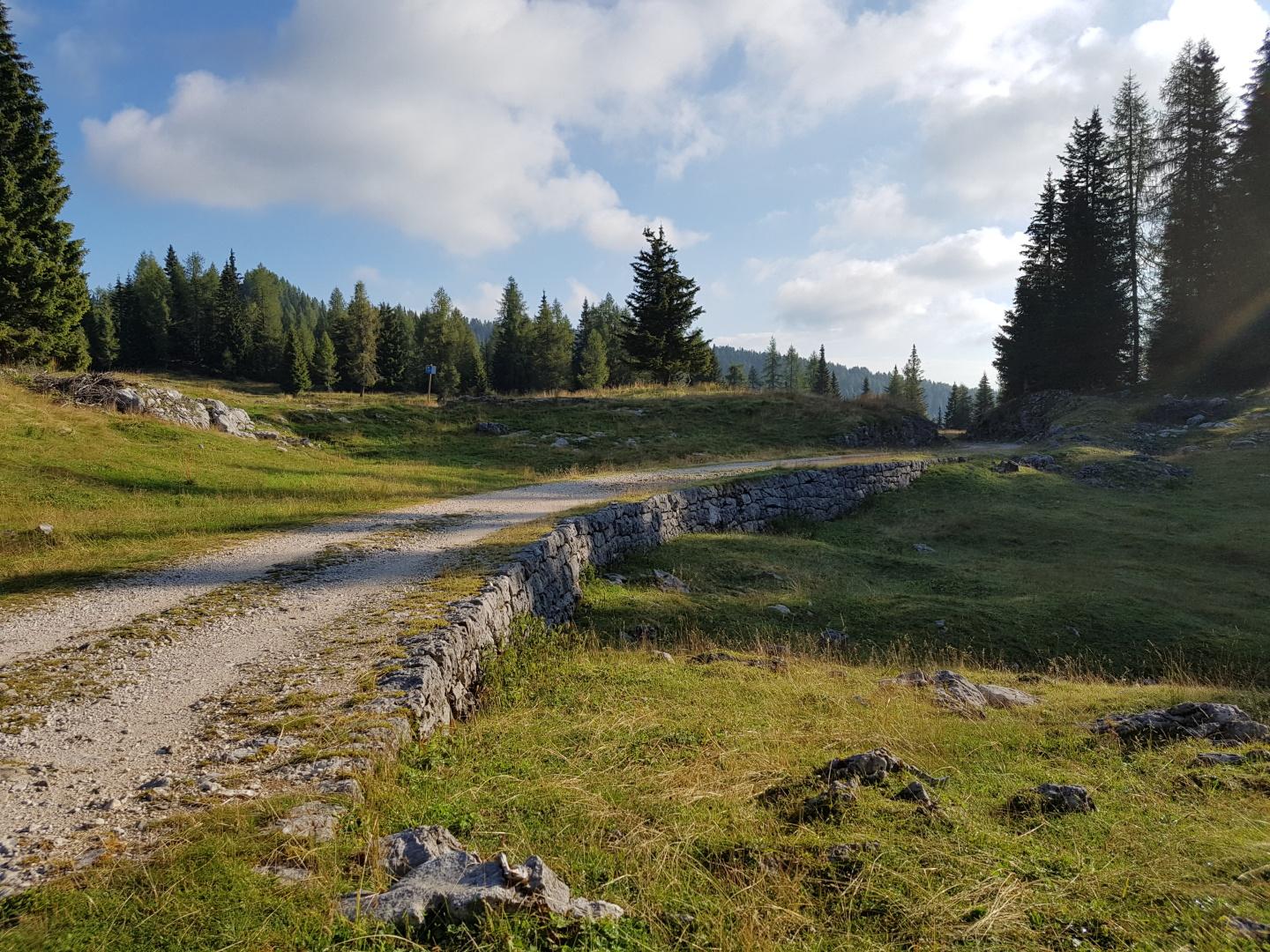
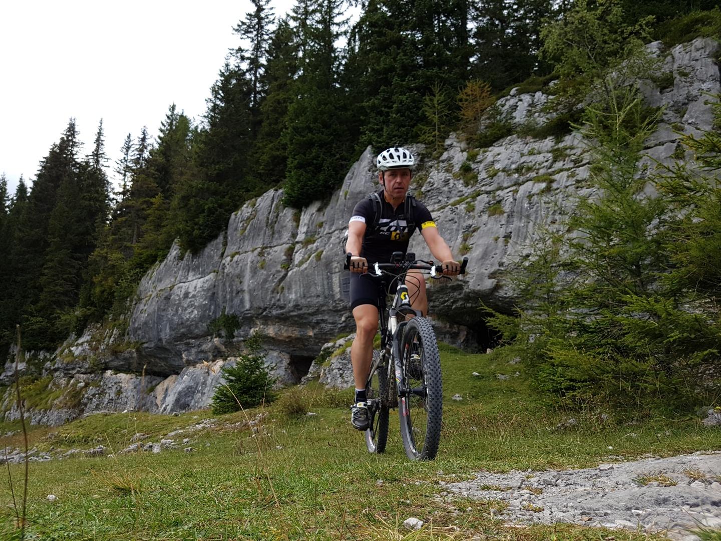
12. Tag: Fonda Piccola - Rovereto
66 km, 2.149 hm, 7:00 h
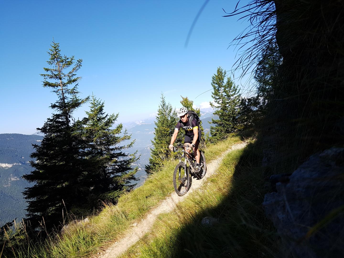
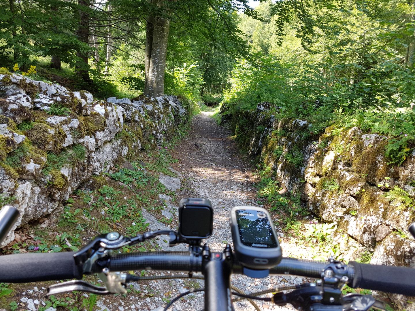
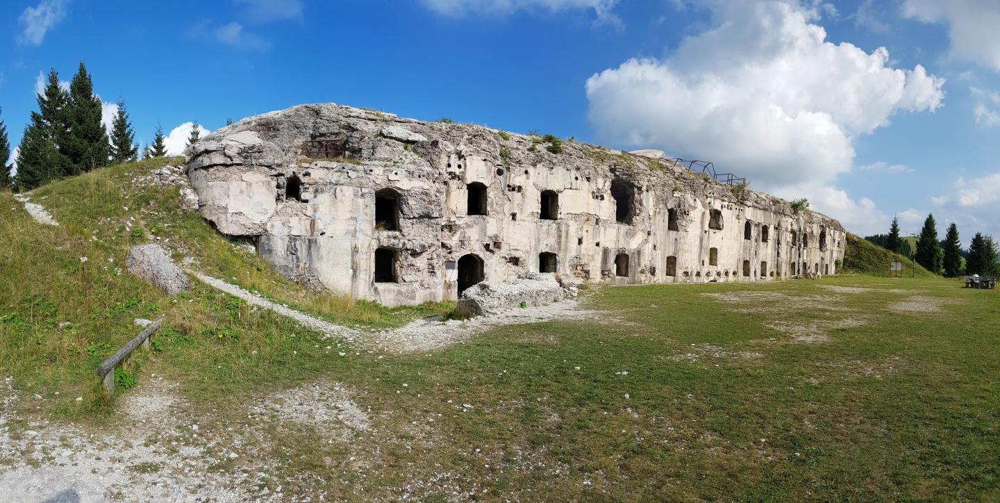

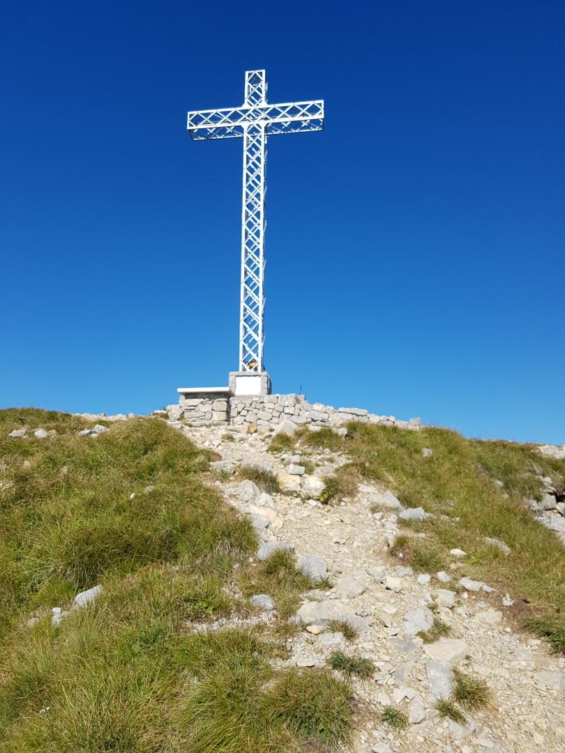
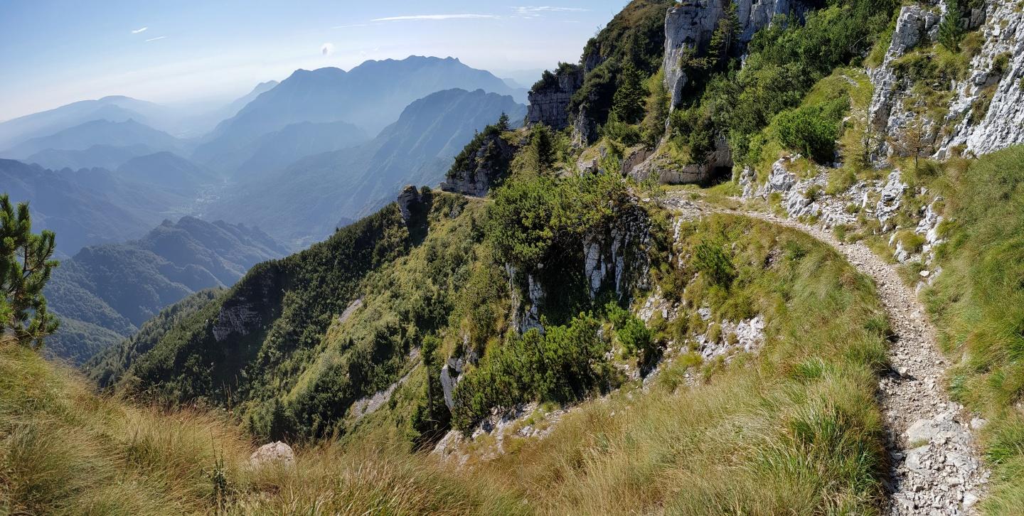
13. Tag: Rovereto - Riva del Garda
60 km, 1.972 hm, 5:22 h
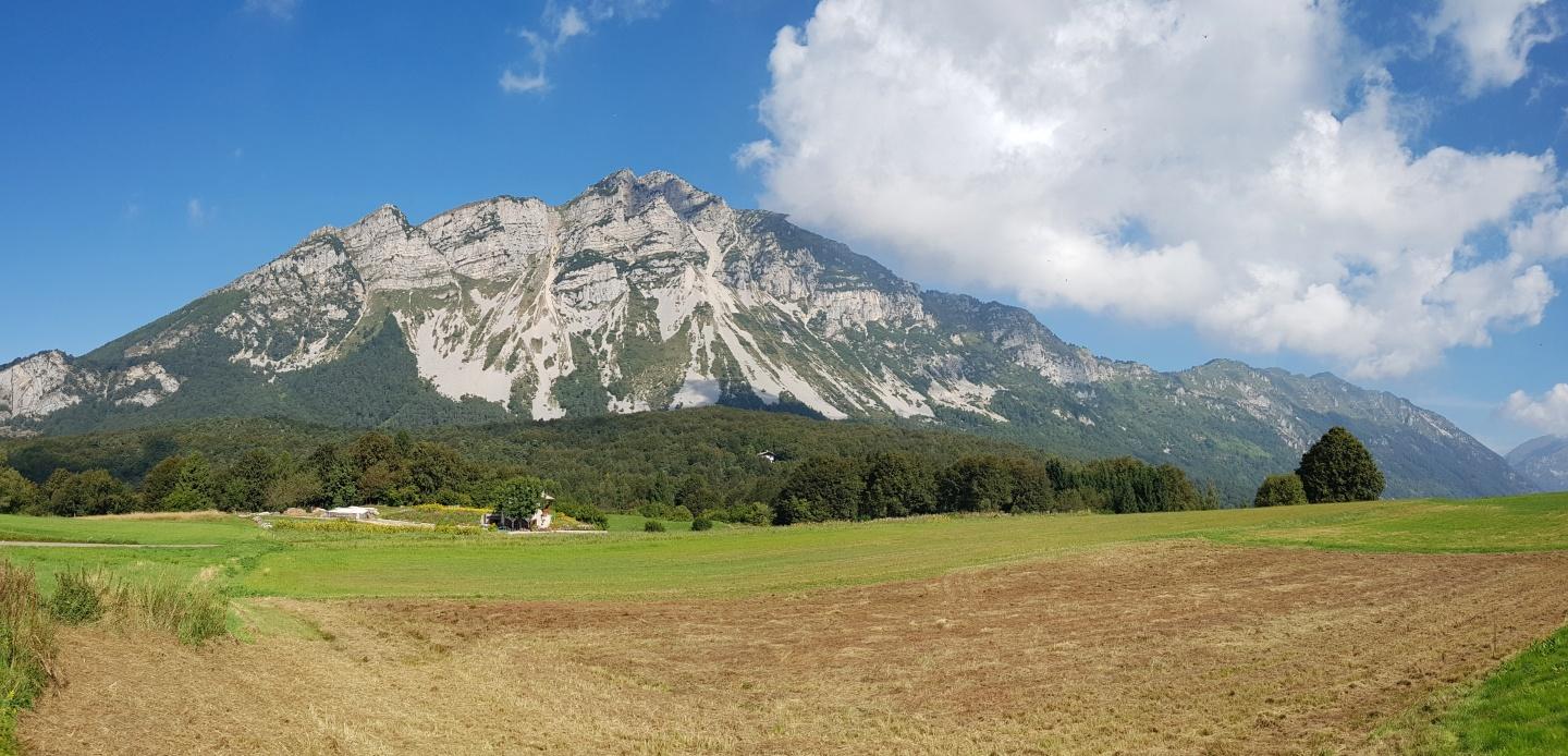
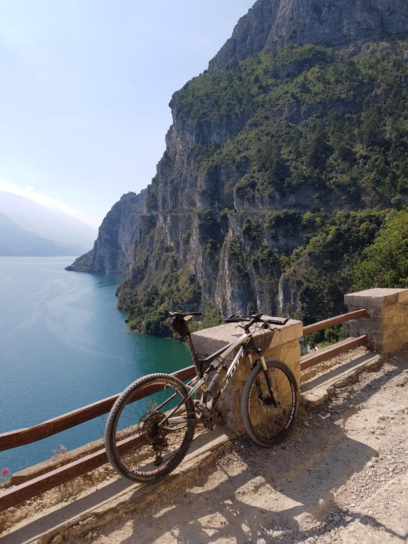
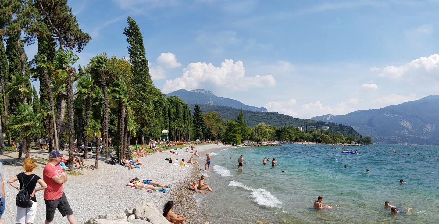

Verdere informatie onder
http://www.dupper.de/index.php?page=transalp-2016Fotogalerie van de tocht
Kaart en hoogteprofiel van de tocht
Commentaren

Mit dem Auto nach Oberstdorf.
Rücktransport über Bahn oder www.fahrservice-sued.de
GPS-tracks
Trackpoints-
GPX / Garmin Map Source (gpx) download
-
TCX / Garmin Training Center® (tcx) download
-
CRS / Garmin Training Center® (crs) download
-
Google Earth (kml) download
-
G7ToWin (g7t) download
-
TTQV (trk) download
-
Overlay (ovl) download
-
Fugawi (txt) download
-
Kompass (DAV) Track (tk) download
-
Pagina van de tocht (pdf) download
-
Origineel dossier van de auteur (gpx) download


