
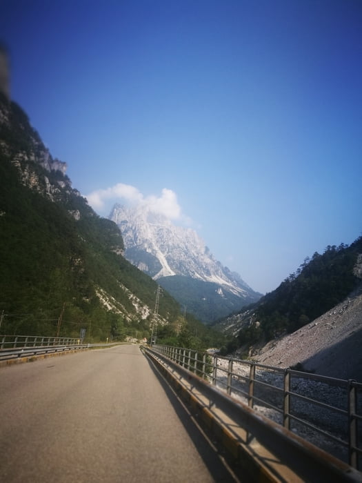

Start in Moggio, heading towards Pradis and start uphill towards Val Alba.
At 680m there is two intersections.
Ignore the 1st to Drentus
Second one go left and stay on the road 2 turns. In the 3rd turn at ~1030m there are "MTB" signs painted on the flor. Follow this single track. Starts nasty but gets great and ends in Drentus.
Follow the road to Virgulins and back to previously ignored intersection 1.
Climb again to Intersection 2 and this time turn right.
In the first turn at ~760m (Stavolo del Zet) turn left, follow the road until Rifugio Vauld (~1160m)
Behind the Refugio follow the path to Cuel de Molgeis (~1300m).
Follow the path down until Dordolla.
ATTENTION: When reaching the 1st houses, don't go down to the village, search for the path to the waterfall and the old mill. Follow the path to Virgulins and back to Intersection 1, 2 and Stavolo de Zet. The route is marked (MTB-signs) from here on and easy to find.
Kaart en hoogteprofiel van de tocht
Minimumhoogte 310 m
Maximale hoogte 1294 m
Meer over de tour auteur

|
rockandal |
Commentaren

GPS-tracks
Trackpoints-
GPX / Garmin Map Source (gpx) download
-
TCX / Garmin Training Center® (tcx) download
-
CRS / Garmin Training Center® (crs) download
-
Google Earth (kml) download
-
G7ToWin (g7t) download
-
TTQV (trk) download
-
Overlay (ovl) download
-
Fugawi (txt) download
-
Kompass (DAV) Track (tk) download
-
Pagina van de tocht (pdf) download
-
Origineel dossier van de auteur (gpx) download
Meer over de tour auteur
|
|
rockandal |
Toevoegen aan mijn favorieten
Uit mijn favorieten verwijderen
Tags bewerken
Open track
Mijn waardering
Tarief