Inloggen

Login vergeten?

Cookies moeten worden aanvaard!
De cookiefunctie van uw browser is gedeactiveerd. Activeer de functie.

Ben je nog geen lid?

Registreer nu
Inloggen

Alleen mogelijk voor ingelogde gebruikers

Log in om deze functie te kunnen gebruiken.

Login vergeten?

Cookies moeten worden aanvaard!
De cookiefunctie van uw browser is gedeactiveerd. Activeer de functie.

Ben je nog geen lid?

Registreer nu
Filter
Categorieën
Geavanceerde filters
  • Lengte (km)
  • Hoogtemeter
Filter opslaan Filter resetten

TrackRank

QRCode

Technische gegevens

Lengte110,3 km Hoogtemeter2429 m Afdaling3087 m Duur2 Dagen 0 h Datum17.03.2020
Beoordelingen Auteur Landschap Funfactor Conditie Techniek

Statistiek

278 Views Beoordelingen 17 Downloads Gemiddelde
Tarief
  • Pagina van de tocht
  • Route
  • Downloads
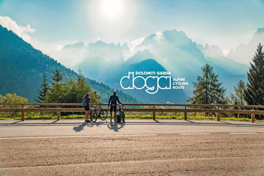
The Dolomiti-Garda DOGA alpine cycle route crosses the magnitude of the Natural Park Adamello Dolomiti Brenta to reach the picturesque Garda Lake in Trentino. The route has a distance of 110 km along tarmac and some gravel sections. Starting in Malè in Val di Sole, the route meanders between remote valleys, alpine villages and magnificent landscapes as far as the eye can see.

Verdere informatie onder

https://www.doga-cycling.it/en/

Fotogalerie van de tocht

Kaart en hoogteprofiel van de tocht

  • Open Street Map
  • Google
Minimumhoogte 74 m Maximale hoogte 1666 m Detailweergave

Meer over de tour auteur

Helios_Bolzano
Lid sinds 2020

Stuur een privébericht

Commentaren

By bike

The DOGA cycle route runs parallel to the EUROVELO route 7. From Mezzocorona you can cross the Val di Non cycle path to the starting point in Malé.

By bus

There are many connections that stop at Mezzocorona, Trento and Rovereto. Both local transport (Trentino Trasporti) and Flixbus. Please make sure beforehand whether it is also possible to take the bike with you on the respective bus connection.

By train

Both national (Trenitalia) and international long-distance connections (DB and ÖBB) stop in Trento. (transport of the bike only with prior reservation). Via the train connection Trento-Malé, which stops in Mezzocorona, you will reach the starting point in Malè. Bicycles can also be transported on all regional trains along the Brenner axis

By car

Via the Brenner highway A22 exit Mezzocorona. From there, it is advisable to park at the train station and to take the Trento-Malé train to the starting point. When returning from Rovereto either directly on the Etschtalradweg back to Mezzocorona or with the regional train.

GPS-tracks

Trackpoints
  • GPX / Garmin Map Source (gpx) download
  • TCX / Garmin Training Center® (tcx) download
  • CRS / Garmin Training Center® (crs) download
  • Google Earth (kml) download
  • G7ToWin (g7t) download
  • TTQV (trk) download
  • Overlay (ovl) download
  • Fugawi (txt) download
  • Kompass (DAV) Track (tk) download
  • Pagina van de tocht (pdf) download
  • Origineel dossier van de auteur (gpx) download

Meer over de tour auteur

Helios_Bolzano
Lid sinds 2020

Stuur een privébericht
Share track
Toevoegen aan mijn favorieten
Uit mijn favorieten verwijderen
Tags bewerken
Mijn waardering
Tarief
Tocht: DOGA (Dolomiti-Garda Alpine Cycling Route)
Type: Trekkingbike
Lengte: 110,3 km
Evaluated on:
Duur:
Dagen
Uurtjes
Minuten
Beoordeling: Landschap Funfactor Conditie Techniek