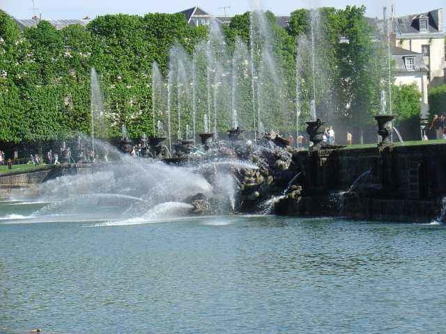
The trip starts at small town called Feucherolles. Cycling east from there, you can enjoy some nice views at Saint Nom La Breteche, bike through remarkable forests at Noisy Le Roi, visit parcours in Marly Le Roi and finally reach Versailles through Rocquencourt.
At the parc area closest to the Palace of Versailles cycling is not allowed, but you can go along Petit and Grand Trianons (entering gardens with a bike is forbidden) and around western part of Le Grand Canal. Don't miss the sunset view of the palace from the western end of the canal.
We decided to go back along the lakes near Buc and Guyancourt. Finally we could enjoy some views at crop fields near Chavenay.
Kaart en hoogteprofiel van de tocht
Minimumhoogte 84 m
Maximale hoogte 178 m
Commentaren

We have started from Feucherolles, but as it is a round-trip, you could start from any point and return to the same spot after a round.
GPS-tracks
Trackpoints-
GPX / Garmin Map Source (gpx) download
-
TCX / Garmin Training Center® (tcx) download
-
CRS / Garmin Training Center® (crs) download
-
Google Earth (kml) download
-
G7ToWin (g7t) download
-
TTQV (trk) download
-
Overlay (ovl) download
-
Fugawi (txt) download
-
Kompass (DAV) Track (tk) download
-
Pagina van de tocht (pdf) download
-
Origineel dossier van de auteur (gpx) download
Toevoegen aan mijn favorieten
Uit mijn favorieten verwijderen
Tags bewerken
Open track
Mijn waardering
Tarief


