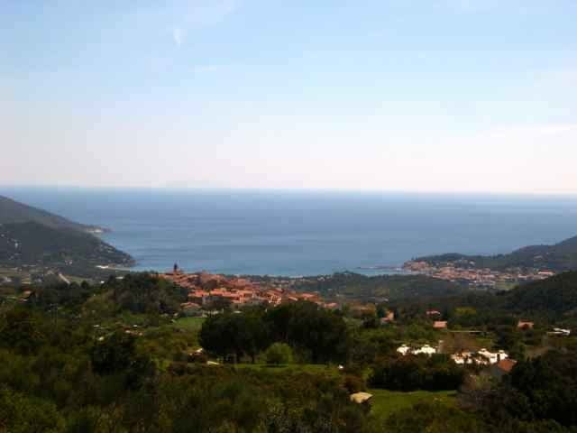
tour from Mariana di Campo to St. Iliario, Mt. Perone, Pietra Maurita, S. Piero back to Mariana di Campo.
The uphill St. Ilario Mt. Perone is steep, downhill the only diffculty is from Pietra Maurita to direction of Seccetto. (I think you could also go down from waypoint 28 to 32 =sentiero 7 or go horizontal from waypoint 28 on sentiero 34 to the street Perone/St. Ilario).
The uphill St. Ilario Mt. Perone is steep, downhill the only diffculty is from Pietra Maurita to direction of Seccetto. (I think you could also go down from waypoint 28 to 32 =sentiero 7 or go horizontal from waypoint 28 on sentiero 34 to the street Perone/St. Ilario).
Verdere informatie onder
http://www.gps-tour.info/tours/view.php?action=view&entity=list&limitstart=0&country=Italien&federal=ToskanaFotogalerie van de tocht
Kaart en hoogteprofiel van de tocht
Minimumhoogte 2 m
Maximale hoogte 627 m
Commentaren
Portoferrario, Locana, Marina di Campo.
GPS-tracks
Trackpoints-
GPX / Garmin Map Source (gpx) download
-
TCX / Garmin Training Center® (tcx) download
-
CRS / Garmin Training Center® (crs) download
-
Google Earth (kml) download
-
G7ToWin (g7t) download
-
TTQV (trk) download
-
Overlay (ovl) download
-
Fugawi (txt) download
-
Kompass (DAV) Track (tk) download
-
Pagina van de tocht (pdf) download
-
Origineel dossier van de auteur (gpx) download
Toevoegen aan mijn favorieten
Uit mijn favorieten verwijderen
Tags bewerken
Open track
Mijn waardering
Tarief


Lieber nicht versuchen...