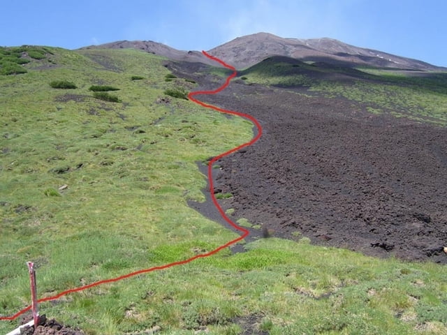
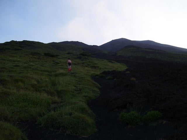
Hike from the Rif.Citelli to a lookout-point to the Valle del Bove. We used this to see Red Lava in the late evening / night.
There is no footpath, but more or less steep sandy straight uphill walking.
Because there is no footpath, it can be difficult to find down in the night, even with flashlights and a GPS.
Fotogalerie van de tocht
Kaart en hoogteprofiel van de tocht
Minimumhoogte 1718 m
Maximale hoogte 2365 m
Commentaren

Starts at the Rifugio Citelli at the Etna Nord region
GPS-tracks
Trackpoints-
GPX / Garmin Map Source (gpx) download
-
TCX / Garmin Training Center® (tcx) download
-
CRS / Garmin Training Center® (crs) download
-
Google Earth (kml) download
-
G7ToWin (g7t) download
-
TTQV (trk) download
-
Overlay (ovl) download
-
Fugawi (txt) download
-
Kompass (DAV) Track (tk) download
-
Pagina van de tocht (pdf) download
-
Origineel dossier van de auteur (gpx) download
Toevoegen aan mijn favorieten
Uit mijn favorieten verwijderen
Tags bewerken
Open track
Mijn waardering
Tarief


