Inloggen

Login vergeten?

Cookies moeten worden aanvaard!
De cookiefunctie van uw browser is gedeactiveerd. Activeer de functie.

Ben je nog geen lid?

Registreer nu
Inloggen

Alleen mogelijk voor ingelogde gebruikers

Log in om deze functie te kunnen gebruiken.

Login vergeten?

Cookies moeten worden aanvaard!
De cookiefunctie van uw browser is gedeactiveerd. Activeer de functie.

Ben je nog geen lid?

Registreer nu
Filter
Categorieën
Geavanceerde filters
  • Lengte (km)
  • Hoogtemeter
Filter opslaan Filter resetten

TrackRank

QRCode

Technische gegevens

Lengte40,4 km Hoogtemeter1658 m Afdaling1687 m Duur00:00 h:m Datum18.07.2009
Beoordelingen Auteur User Landschap Funfactor Conditie Techniek

Statistiek

1753 Views 1 Beoordeling 300 Downloads 5.00 Gemiddelde
Tarief
  • Pagina van de tocht
  • Route
  • Downloads
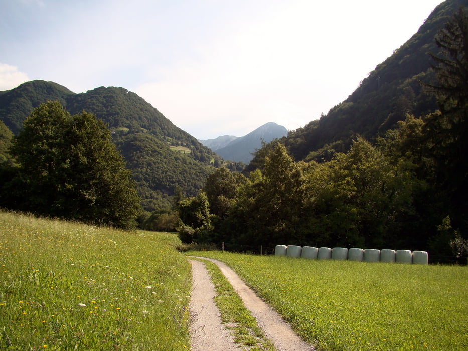
Izhodiščna točka je Tolmin,pot nadaljujemo skozi Tolminska korita,po makedamski cesti in mulatjeri do edine ceste na Tolminske Ravne.Pot je 95% vozna.

Fotogalerie van de tocht

Kaart en hoogteprofiel van de tocht

  • Open Street Map
  • Google
Minimumhoogte 179 m Maximale hoogte 1327 m Detailweergave

Meer over de tour auteur

caperos
Lid sinds 2008

Stuur een privébericht

Commentaren

Ulrike1 on 20.09.2017

Planina Razor

I have done that tour today. It was very nice but I did not understand why this tour is documented in a clock-wise direction.

I had to go uphill a steep path (that would have been a very nice single trail downhill) and I went downhill long and boring dirt and later asphalt road. Uphill I had to push the bike quite a few times, and downhill, my fingers got numb due to breaking.

I would recommend any other bikers to do the tour anticlock-wise to enjoy a nice and long single trail downhill (S1 with some passages of S2).

GPS-tracks

Trackpoints
  • GPX / Garmin Map Source (gpx) download
  • TCX / Garmin Training Center® (tcx) download
  • CRS / Garmin Training Center® (crs) download
  • Google Earth (kml) download
  • G7ToWin (g7t) download
  • TTQV (trk) download
  • Overlay (ovl) download
  • Fugawi (txt) download
  • Kompass (DAV) Track (tk) download
  • Pagina van de tocht (pdf) download
  • Origineel dossier van de auteur (gpx) download

Meer over de tour auteur

caperos
Lid sinds 2008

Stuur een privébericht
Share track
Toevoegen aan mijn favorieten
Uit mijn favorieten verwijderen
Tags bewerken
Mijn waardering
Tarief
Tocht: Planina Razor
Type: Mountainbike
Lengte: 40,4 km
Evaluated on:
Duur:
Dagen
Uurtjes
Minuten
Beoordeling: Landschap Funfactor Conditie Techniek