


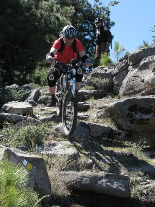
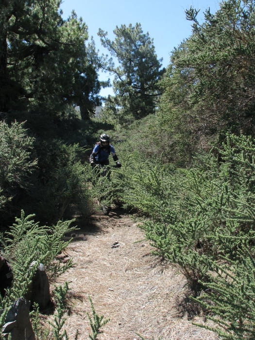
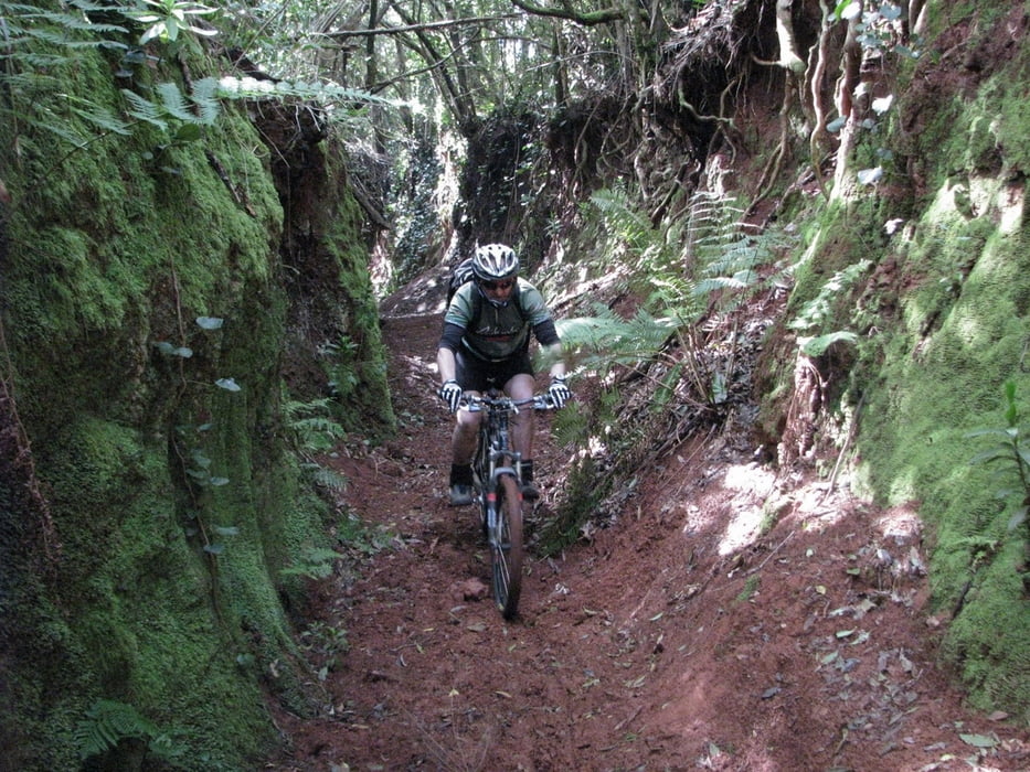
Very nice tour in the north of La Palma. We began this tour on the top at Pico de la Cruz. In March 2009 there was some snow on the top. Downhill on begins with rocky trail, with some parts that I had to walk due to unfixed rocks. We even wanted to go back, since we were not sure if the rest of the trail is bikable. In the forest begins wonderfull (all mountain) downhill towards Laguna de Barlovento. Some shorter parts are S2 in singletralskala. At Laguna (there is restaurant, where you can get drinks) we continued on paved road. After few km of scenic road uphill on unpaved road. Last part of the tour we made in the darkness.
Mostly wonderfull all mountain downhill on LP7,8 and LP8 with not technical uphill.
Movie on link bellow
Verdere informatie onder
http://vimeo.com/4052220Fotogalerie van de tocht

Kaart en hoogteprofiel van de tocht
Minimumhoogte 93 m
Maximale hoogte 2300 m
Meer over de tour auteur
|
|
cindro |
Commentaren

Tour can begin at the lowest point: Laguna de Barlovento or at the top at Pico de la Cruz
GPS-tracks
Trackpoints-
GPX / Garmin Map Source (gpx) download
-
TCX / Garmin Training Center® (tcx) download
-
CRS / Garmin Training Center® (crs) download
-
Google Earth (kml) download
-
G7ToWin (g7t) download
-
TTQV (trk) download
-
Overlay (ovl) download
-
Fugawi (txt) download
-
Kompass (DAV) Track (tk) download
-
Pagina van de tocht (pdf) download
-
Origineel dossier van de auteur (gpx) download
Meer over de tour auteur
|
|
cindro |
Toevoegen aan mijn favorieten
Uit mijn favorieten verwijderen
Tags bewerken
Open track
Mijn waardering
Tarief