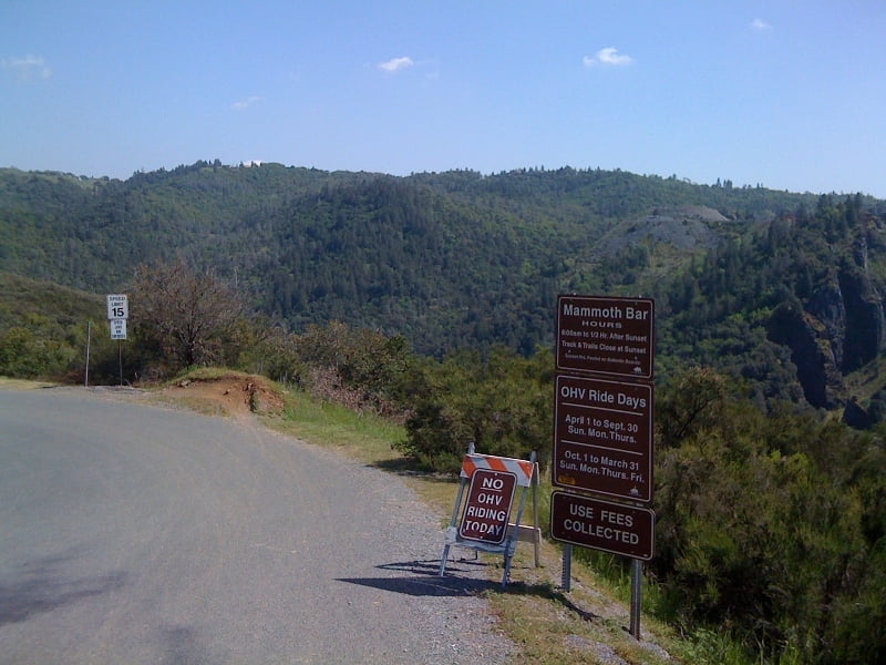
Whenever you are in the Sacramento area don't miss this:
2 decent climbs, but who cares if one can ride these trails. Wahoo - feel the flow ;)
Verdere informatie onder
http://iron-horse.us/mtb/clementine_loop.shtmlKaart en hoogteprofiel van de tocht
Minimumhoogte 163 m
Maximale hoogte 483 m
Commentaren

Leave Auburn on 49 (El Dorado street) park at trail head.
GPS-tracks
Trackpoints-
GPX / Garmin Map Source (gpx) download
-
TCX / Garmin Training Center® (tcx) download
-
CRS / Garmin Training Center® (crs) download
-
Google Earth (kml) download
-
G7ToWin (g7t) download
-
TTQV (trk) download
-
Overlay (ovl) download
-
Fugawi (txt) download
-
Kompass (DAV) Track (tk) download
-
Pagina van de tocht (pdf) download
-
Origineel dossier van de auteur (gpx) download
Toevoegen aan mijn favorieten
Uit mijn favorieten verwijderen
Tags bewerken
Open track
Mijn waardering
Tarief


