


Date: July 5, 2010
Start: 1182 m (mountain station of Salamander Sesselbahn)
Finish: 864 m (lower station of Salamander Sesselbahn)
Highest point: 2077 m
Lowest point: 878 m
Total ascent: 1112 m
Total descent: 1422 m
Information about the Salamander Sesselbahn:
http://www.schneebergbahn.at
Webcams:
http://www.schneeberg.tv
Verdere informatie onder
http://www.beepee.hu/kepek/v/turak/schneeberg1007/Fotogalerie van de tocht


Kaart en hoogteprofiel van de tocht
Minimumhoogte 878 m
Maximale hoogte 2078 m
Meer over de tour auteur
|
|
beepee |
Commentaren

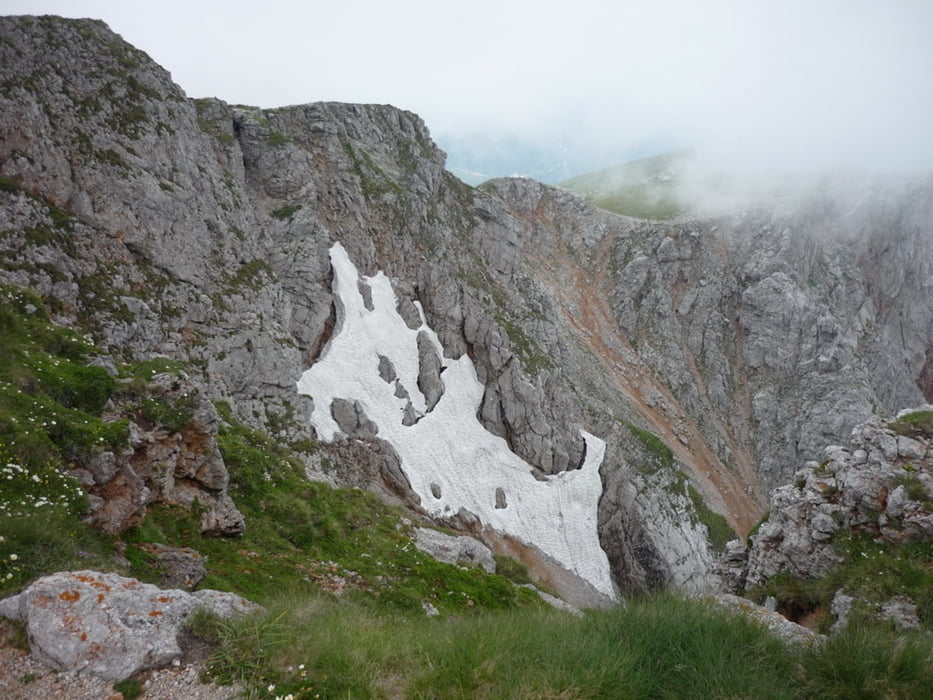
Another nice tour on and around Schneeberg.
Up via Fadensteig, but at this time we took a different route down from the top back to the parking place at the lower station of the cable car.
At some places we were not following the marked path, thanks to the nearby geocaches.
Also at the end between the upper and lower station of the cable chair, we had to make some shortcuts as the sun was going down on us.
GPS-tracks
Trackpoints-
GPX / Garmin Map Source (gpx) download
-
TCX / Garmin Training Center® (tcx) download
-
CRS / Garmin Training Center® (crs) download
-
Google Earth (kml) download
-
G7ToWin (g7t) download
-
TTQV (trk) download
-
Overlay (ovl) download
-
Fugawi (txt) download
-
Kompass (DAV) Track (tk) download
-
Pagina van de tocht (pdf) download
-
Origineel dossier van de auteur (gpx) download
Meer over de tour auteur
|
|
beepee |
Toevoegen aan mijn favorieten
Uit mijn favorieten verwijderen
Tags bewerken
Open track
Mijn waardering
Tarief